Enable Location

We need your location to show you interesting places around you

Discover nearby places

Find interesting locations and hidden gems around you

Precise directions

Get accurate directions and distances to places

Your location is never shared with other users. It's only used when you tap the location button.

Trail Ridge Road

Log in to your account

Start exploring — it's free

Trusted by 63,531 travelers worldwide

Continue with Google
Continue with Apple
or

We will send you a code to connect

By continuing, you accept our Terms and Conditions and our Privacy Policy

Check your inbox

We've sent a pincode in your inbox. Please enter the code below.

Discussion Reviews 1 Photos
43.3k Popularity

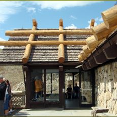
Trail Ridge Road, Mountain highway in Rocky Mountain National Park, United States.

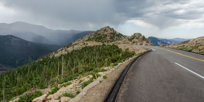
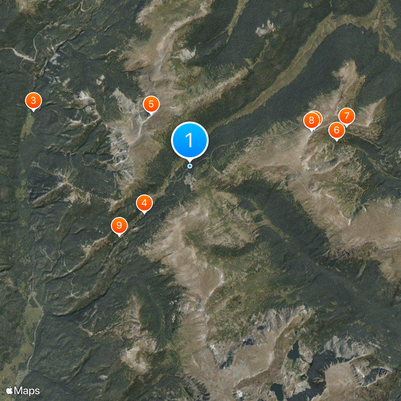
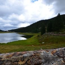
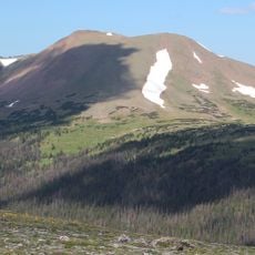
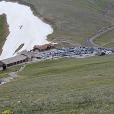
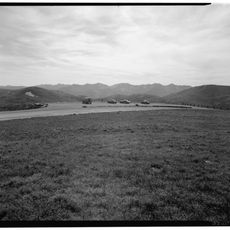
Trail Ridge Road is a high mountain highway spanning 48 miles (77 kilometers) through Rocky Mountain National Park in Colorado, linking Estes Park and Grand Lake while climbing to an elevation of 12,183 feet (3,712 meters). The paved route runs above the tree line for much of its length, offering multiple overlooks along open tundra and rocky slopes.

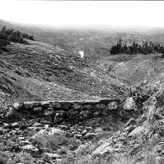
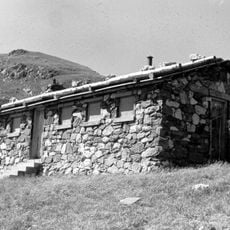
Construction began in 1929 and took nine years to complete, opening the route across the mountains in 1938. The alignment followed portions of older trails that had crossed the passes for centuries, creating the first continuous motor road over the Continental Divide in this area.

The Arapaho people called this mountain passage 'taienbaa' and traveled through it for trade and seasonal journeys long before any road existed. Visitors today walk the same high ridges that once guided those traveling groups across the peaks.

The highway closes from October through May because of snow, so passage is only possible during the summer months. Pullouts and overlooks line the entire route, allowing drivers to stop and take in the surroundings.

At 12,183 feet (3,712 meters), this is the highest continuous paved road in North America, crossing the Continental Divide at Milner Pass at 10,758 feet (3,279 meters). Drivers reach elevations where trees no longer grow and the air becomes noticeably thinner.

The community of curious travelers

AroundUs brings together thousands of curated places, local tips, and hidden gems, enriched daily by 60,000 contributors worldwide.

Start exploring
Location
Location
Inception
1932
GPS coordinates
40.43148,-105.79586
Latest update
December 14, 2025 21:05
Around this place
Show the full map
Reviews
Share your experience

No review yet

Discussions
Start a discussion...

No discussion yet

« Trail Ridge Road - Mountain highway in Rocky Mountain National Park, United States » is provided by Around Us (aroundus.com). Images and texts are derived from Wikimedia project under a Creative Commons license. You are allowed to copy, distribute, and modify copies of this page, under the conditions set by the license, as long as this note is clearly visible.

Discover hidden gems everywhere you go!

From secret cafés to breathtaking viewpoints, skip the crowded tourist spots and find places that match your style. Our app makes it easy with voice search, smart filtering, route optimization, and insider tips from travelers worldwide. Download now for the complete mobile experience.

Around Us App Screenshot

A unique approach to discovering new places

Le Figaro

All the places worth exploring

France Info

A tailor-made excursion in just a few clicks

20 Minutes

Around Us
Travel Guide & Maps
Download

Send to your phone

QR Code
1

Open the camera app on your mobile.

2

Point at the QR code with your camera. A notification will appear.

3

Tap the notification to open the link.