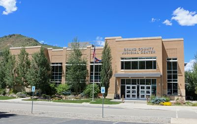
Grand County, Administrative division in Colorado, United States.
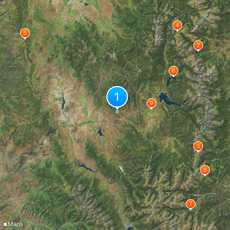
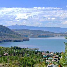
Grand County is an administrative division in Colorado that spans mountain ranges and valleys while serving as a local government entity. The region encompasses several communities and provides residents with essential public services and administrative functions.
Grand County was established to create local administration and governance for this Colorado region. Its development reflects the broader American system of county government that enables states to delegate regional administrative authority.
Seven elected officials, including County Commissioners, Treasurer, and Sheriff, shape the administrative structure and guide community development through four-year terms.
Visitors can find information and services through the county website, including permit applications and licensing procedures. Business hours are typically standard on weekdays when offices are fully staffed.
The county administration maintains responsibility for wildfire planning, marijuana licensing, pest control, and agricultural research within its geographical boundaries.
Location: Colorado
Inception: February 2, 1874
Capital city: Hot Sulphur Springs
Shares border with: Larimer County, Eagle County, Summit County, Jackson County, Routt County, Boulder County, Clear Creek County, Gilpin County
Website: http://co.grand.co.us
GPS coordinates: 40.10000,-106.12000
Latest update: December 7, 2025 09:28
Rollins Pass
41.6 km
Trail Ridge Road
46 km
Grand Lake
30.5 km
Saint Mary's Glacier
49.9 km
Middle Park
15.7 km
Colorado-Big Thompson Project
23.3 km
Alpine Visitor Center
49.1 km
Eagles Nest Wilderness
45.9 km
Shadow Mountain Lake
27.5 km
Gore Canyon
35.2 km
Bear Lake Trailhead
46.7 km
Milner Pass
44.2 km
Arapaho National Recreation Area
24.7 km
Mount Richthofen
45.3 km
Hagues Peak
58.7 km
Nokhu Crags
47 km
Andrews Glacier
42.6 km
Parry Peak
45.3 km
Tyndall Glacier
43.2 km
James Peak Wilderness
45.9 km
Arapaho Glacier
41.1 km
North Arapaho Peak
40.9 km
Mount Ida
41.9 km
Byers Peak Wilderness
30.1 km
Byers Canyon
3.6 km
Lone Eagle Peak
39.3 km
Wolford Mountain Reservoir
25.2 km
Williams Fork Reservoir
12.2 kmVisited this place? Tap the stars to rate it and share your experience / photos with the community! Try now! You can cancel it anytime.
Discover hidden gems everywhere you go!
From secret cafés to breathtaking viewpoints, skip the crowded tourist spots and find places that match your style. Our app makes it easy with voice search, smart filtering, route optimization, and insider tips from travelers worldwide. Download now for the complete mobile experience.
A unique approach to discovering new places❞
— Le Figaro
All the places worth exploring❞
— France Info
A tailor-made excursion in just a few clicks❞
— 20 Minutes