James Peak Wilderness, US wilderness area in Gilpin and Clear Creek counties, Colorado
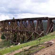
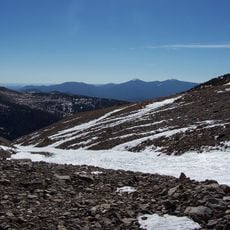
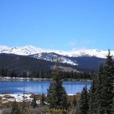
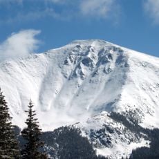
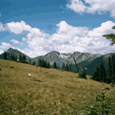
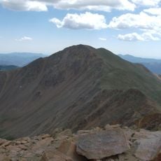
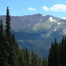
James Peak Wilderness is a U.S. Wilderness Area of 17,015 acres (69 km2) in the Arapaho and Roosevelt national forests, immediately east of the Continental Divide in Gilpin and Clear Creek counties. It borders the Indian Peaks Wilderness to the north and the James Peak Protection Area to the west. Within its boundaries are 30 miles (48 km) of trails, and Parry Peak is its highest summit at 13,391 feet (4,082 m).
The James Peak Wilderness was established by H.R.1576 in the 107th Congress in 2001. The name comes from James Peak, the range's second-highest summit at 13,294 feet, which honors Edwin James, a pioneer and botanist. Pikes Peak originally bore the name James Peak before Pike's exploration, after which the current James Peak received it.
The wilderness takes its name from James Peak, the 13,294-foot summit named for Edwin James, botanist on the 1820 Stephen H. Long expedition. That name was first applied to the mountain now called Pikes Peak and moved here after Pike's explorations. Parry Peak, at 13,391 feet, is the highest point in the area.
Visitors can access the area through several trailheads near Nederland and Rollinsville, with the East Portal Trailhead offering ample parking. The best time to hike is from late spring to early fall, when the higher trails are clear of snow.
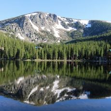
The South Boulder Creek Trail leads to Rogers Pass Lake and Heart Lake, following the creek's natural flow through remote mountain terrain. This route reveals less visited high lakes that are set apart from the main hiking corridors.
The community of curious travelers
AroundUs brings together thousands of curated places, local tips, and hidden gems, enriched daily by 94,550 contributors worldwide.