Chest opened
+${chestReward.xp} XP
Explorer
NOUVEAU ×${chestReward.collectible.quantity}
tapez pour fermer

See the monuments around you in AR Open chests in the app

Around Us is built for your phone — point your camera at the streets and discover the monuments and places around you in augmented reality. Around Us is built for your phone — chests unlock when you walk, explore and capture nearby places.

Enable Location

We need your location to show you interesting places around you

Discover nearby places

Find interesting locations and hidden gems around you

Precise directions

Get accurate directions and distances to places

Your location is never shared with other users. It's only used when you tap the location button.

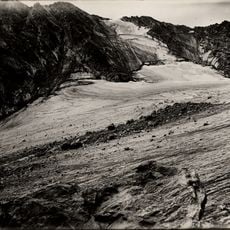
Saint Mary's Glacier

Log in to your account

Start exploring — it's free

Trusted by 85,860 travelers worldwide

Continue with Google
Continue with Apple
or

We will send you a code to connect

By continuing, you accept our Terms and Conditions and our Privacy Policy

Check your inbox

We've sent a pincode in your inbox. Please enter the code below.

Saint Mary's Glacier
Discussion Reviews 1 Photos
13.9k Popularity

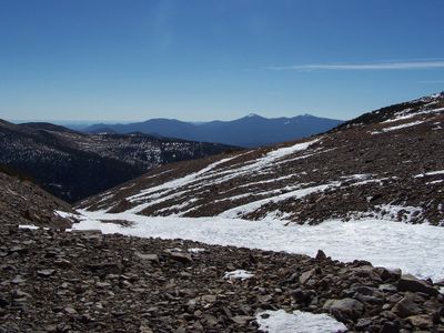
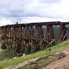
Saint Mary's Glacier, Permanent snowfield in Arapaho National Forest, Colorado, United States.

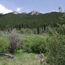
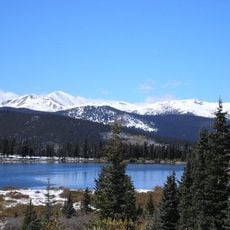
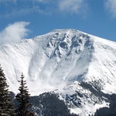
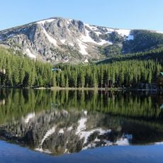
Saint Mary's Glacier is a semi-permanent snowfield in the Arapaho National Forest that persists year-round at high elevation. The trail winds through forest and leads to an alpine lake surrounded by rocky mountain faces and open slopes.

The site was initially classified as a glacier but was later reclassified as a semi-permanent snowfield based on its stationary nature. This change reflected scientific understanding that the frozen area does not move or flow like a true glacier.

The site draws people who want to experience the high mountain landscape and its working snow environment. Visitors come to walk through the forest and see how the natural setting changes with the seasons.

The trail is accessible year-round, though sturdy footwear is essential for the uneven and rocky terrain. Snow coverage can make some sections slippery in warmer months, so visitors should gauge their fitness level and prepare accordingly for the elevation gain.

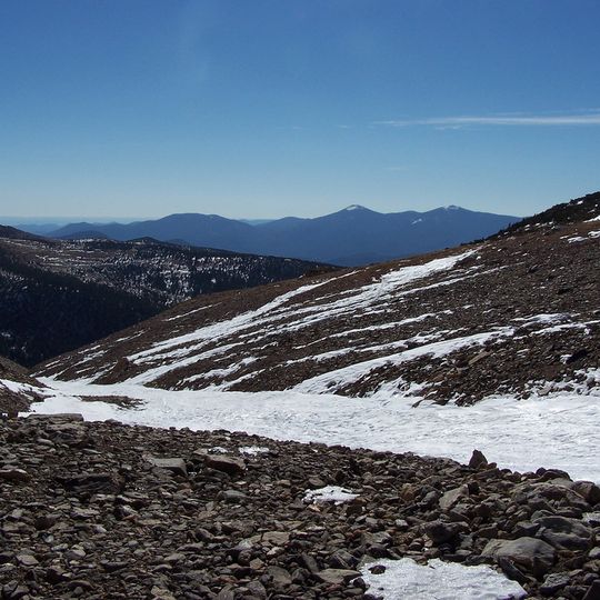
The snowfield persists at an elevation where most surrounding mountain areas become snow-free during summer. This allows visitors to experience a frozen landscape even during the warmer months of the year.

The community of curious travelers

AroundUs brings together thousands of curated places, local tips, and hidden gems, enriched daily by 60,000 contributors worldwide.
Start exploring
Location
GPS coordinates
39.83583,-105.64694
Latest update
August 29, 2026 21:31
Around this place
Rollins Pass
United States of America

Rollins Pass

7.1 mi
Golden Gate Canyon State Park
United States of America

Golden Gate Canyon State Park

12.5 mi
Echo Lake Park
United States of America

Echo Lake Park

12.5 mi
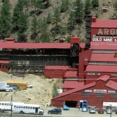
Argo Gold Mine and Mill
United States of America

Argo Gold Mine and Mill

9.8 mi
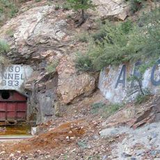
Argo Tunnel
United States of America

Argo Tunnel

9.8 mi
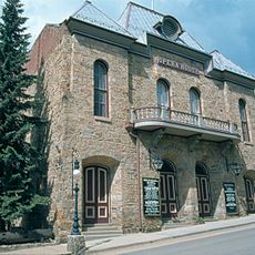
Central City Opera House
United States of America

Central City Opera House

7.5 mi
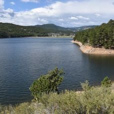
Barker Meadow Reservoir
United States of America

Barker Meadow Reservoir

12.1 mi
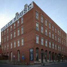
Teller House
United States of America

Teller House

7.5 mi
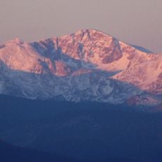
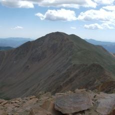
Parry Peak
United States of America

Parry Peak

3.5 mi
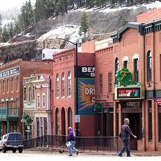
Central City/Black Hawk Historic District
United States of America

Central City/Black Hawk Historic District

7.8 mi
James Peak Wilderness
United States of America

James Peak Wilderness

2.6 mi
Arapaho Glacier
United States of America

Arapaho Glacier

13 mi
United States of America

North Arapaho Peak

13.2 mi
Bard Peak
United States of America

Bard Peak

11.6 mi
Georgetown-Silver Plume Historic District
United States of America

Georgetown-Silver Plume Historic District

10.1 mi
Engelmann Peak
United States of America

Engelmann Peak

10.3 mi
United States of America

Mount Neva

12 mi
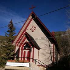
Grace Episcopal Church
United States of America

Grace Episcopal Church

9.4 mi
Cozens Ranch House
United States of America

Cozens Ranch House

10.1 mi
Methodist Episcopal Church
United States of America

Methodist Episcopal Church

9.4 mi
Eldora Historic District
United States of America

Eldora Historic District

8.9 mi
Idaho Springs Downtown Commercial District
United States of America

Idaho Springs Downtown Commercial District

9.5 mi
Elks Lodge No. 607
United States of America

Elks Lodge No. 607

9.5 mi
Gold Miner Hotel
United States of America

Gold Miner Hotel

8.9 mi
Toll House
United States of America

Toll House

9.6 mi
Historical Society of Idaho Springs & Visitor Center
United States of America

Historical Society of Idaho Springs & Visitor Center

9.8 mi
Silver Lake
United States of America

Silver Lake

0.5 mi
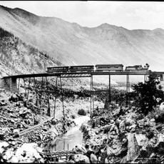
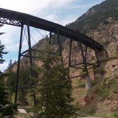
Devil's Gate High Bridge
United States of America

Devil's Gate High Bridge

9.8 mi
Show the full map
Reviews
Share your experience

No review yet

Discussions
Start a discussion...

No discussion yet

« Saint Mary's Glacier - Permanent snowfield in Arapaho National Forest, Colorado, United States » is provided by Around Us (aroundus.com). Images and texts are derived from Wikimedia project under a Creative Commons license. You are allowed to copy, distribute, and modify copies of this page, under the conditions set by the license, as long as this note is clearly visible.

Discover hidden gems everywhere you go!

From secret cafés to breathtaking viewpoints, skip the crowded tourist spots and find places that match your style. Our app makes it easy with voice search, smart filtering, route optimization, and insider tips from travelers worldwide. Download now for the complete mobile experience.
Around Us App Screenshot

A unique approach to discovering new places

Le Figaro

All the places worth exploring

France Info

A tailor-made excursion in just a few clicks

20 Minutes

Around Us
Travel Guide & Maps
Download

Send to your phone

QR Code
1

Open the camera app on your mobile.

2

Point at the QR code with your camera. A notification will appear.

3

Tap the notification to open the link.