Enable Location

We need your location to show you interesting places around you

Discover nearby places

Find interesting locations and hidden gems around you

Precise directions

Get accurate directions and distances to places

Your location is never shared with other users. It's only used when you tap the location button.

Fall River Road

Log in to your account

Start exploring — it's free

Trusted by 62,199 travelers worldwide

Continue with Google
Continue with Apple
or

We will send you a code to connect

By continuing, you accept our Terms and Conditions and our Privacy Policy

Check your inbox

We've sent a pincode in your inbox. Please enter the code below.

Fall River Road, road in Rocky Mountain National Park, Colorado, USA

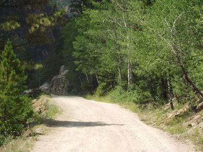
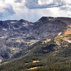
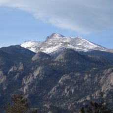
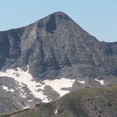
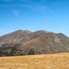
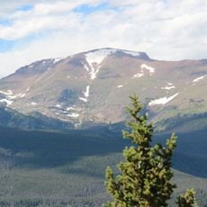
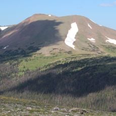
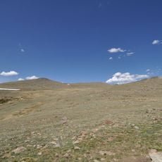
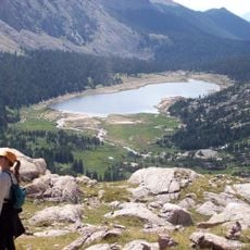
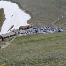
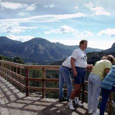
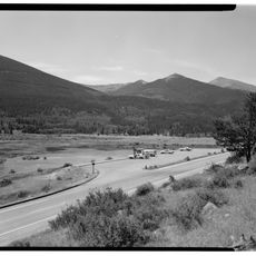
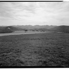
Fall River Road is a narrow, winding mountain route that runs through Rocky Mountain National Park, connecting Estes Park on the east side with Grand Lake on the west. It climbs through steep sections with views of surrounding mountains and forests, with portions of the original construction still intact.

Built between 1913 and 1920, it was the first automobile road constructed within Rocky Mountain National Park. It was later partly replaced by Trail Ridge Road in the 1930s, but sections of the original route remain preserved as a historic site.

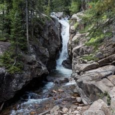
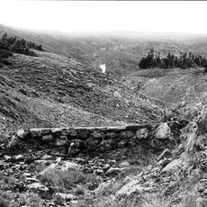
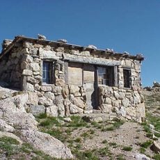
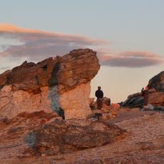
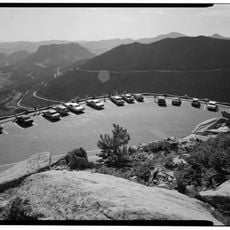
Fall River Road attracts visitors interested in understanding how early mountain access was developed and engineered. The preserved stone walls and tight curves show the methods that early builders used to navigate steep terrain.

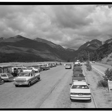
Access is typically available from late spring through early winter depending on weather, with occasional closures for maintenance or conditions. It works best for smaller vehicles or those built for rough terrain, and cyclists can use it from April through November.

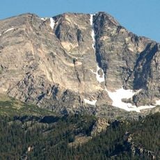
A rockslide blocked this route in 1953 and kept it closed for 15 years until 1968, when park workers cleared the debris and paved the lower portion. This dramatic pause in its history makes the route particularly noteworthy for those interested in how landscapes change.

The community of curious travelers

AroundUs brings together thousands of curated places, local tips, and hidden gems, enriched daily by 60,000 contributors worldwide.

Start exploring
Location
GPS coordinates
40.42972,-105.71194
Latest update
February 7, 2026 11:01
Around this place
Show the full map
« Fall River Road - road in Rocky Mountain National Park, Colorado, USA » is provided by Around Us (aroundus.com). Images and texts are derived from Wikimedia project under a Creative Commons license. You are allowed to copy, distribute, and modify copies of this page, under the conditions set by the license, as long as this note is clearly visible.

Discover hidden gems everywhere you go!

From secret cafés to breathtaking viewpoints, skip the crowded tourist spots and find places that match your style. Our app makes it easy with voice search, smart filtering, route optimization, and insider tips from travelers worldwide. Download now for the complete mobile experience.

Around Us App Screenshot

A unique approach to discovering new places

Le Figaro

All the places worth exploring

France Info

A tailor-made excursion in just a few clicks

20 Minutes

Around Us
Travel Guide & Maps
Download

Send to your phone

QR Code
1

Open the camera app on your mobile.

2

Point at the QR code with your camera. A notification will appear.

3

Tap the notification to open the link.