Fairchild Mountain, Mountain summit in Larimer County, United States
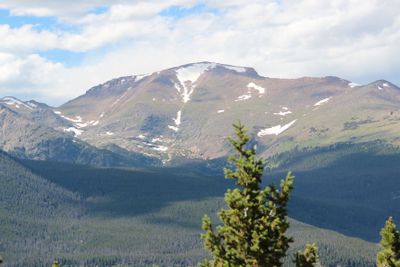
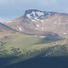
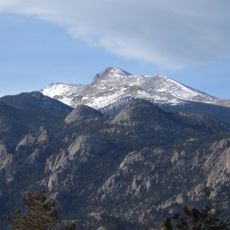
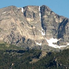
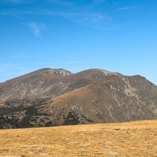
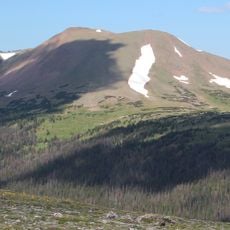
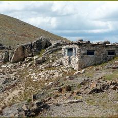
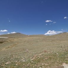
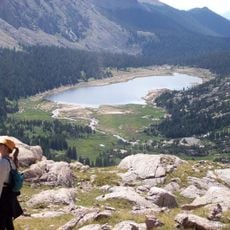
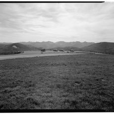
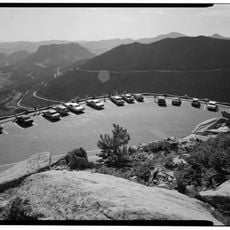
Fairchild Mountain rises to 13,508 feet (4,114 meters) within the Mummy Range of Rocky Mountain National Park, displaying exposed rock formations and alpine vegetation across its slopes. The landscape transitions from forested lower elevations to sparse plant life at higher altitudes.
The peak received its name in honor of Lucius Fairchild, a notable American politician from the 1800s. This naming tradition reflected the era when many geographical features in the region were designated after influential figures.
The area has long been part of traditional hunting and gathering grounds used by indigenous peoples across generations. These ancestral connections still shape how people understand and move through this landscape today.
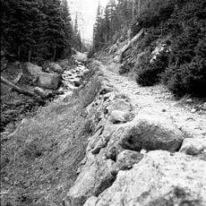
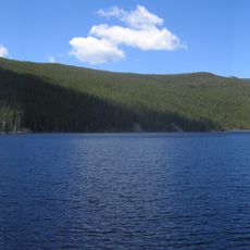
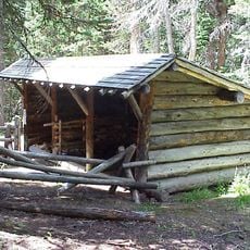
Hikers access the summit via a 17.5-mile (28-kilometer) round trip from Lawn Lake trailhead, with about 4,962 feet (1,512 meters) of elevation gain across varied terrain. Summer is the ideal season for this hike, as snow melts and trails become passable.
The peak was named after a lesser-known political figure rather than a celebrated explorer or military leader, setting it apart from other summits in the region. This naming choice reveals a different chapter of regional history that visitors often overlook.
The community of curious travelers
AroundUs brings together thousands of curated places, local tips, and hidden gems, enriched daily by 60,000 contributors worldwide.