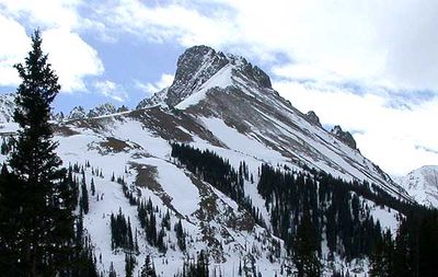
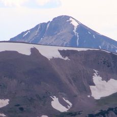
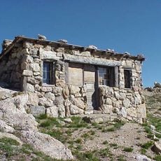
Nokhu Crags, Mountain summit in State Forest State Park, Colorado, US
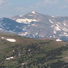
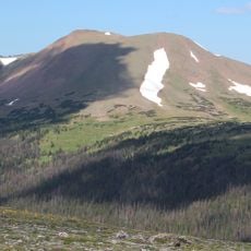
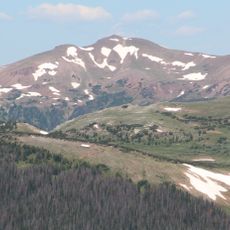
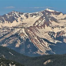
Nokhu Crags are a group of rocky spires in the Never Summer Range, located in State Forest State Park in Colorado, reaching about 12,500 feet (3,800 m). The crags rise steeply above the American Lakes basin and are made up of loose, fractured rock.
The rocks that form Nokhu Crags were laid down as sediment in an ancient ocean millions of years ago, then pushed upward by the forces that built the Rocky Mountains. Continued erosion and freeze-thaw cycles have broken the rock into the loose, jagged shapes seen today.
The name Nokhu comes from an Arapaho word meaning Eagles Nest, a reminder of the long relationship between Indigenous peoples and these peaks. Visitors who look up on a clear day may spot eagles riding the air currents above the rock spires.
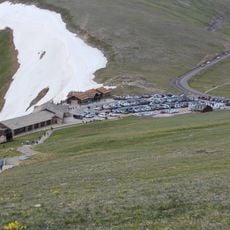
Reaching the crags involves hiking through the American Lakes basin, and the loose rock on the upper sections calls for experience with unstable terrain. Setting out early in the morning gives you the best chance of avoiding afternoon storms, which are common at this elevation.
The western rock face is home to a large colony of bats that pour out of the crevices at dusk, which most visitors never see because they leave after the day hike. Staying near the base until evening reveals this unexpected side of the crags.
The community of curious travelers
AroundUs brings together thousands of curated places, local tips, and hidden gems, enriched daily by 60,000 contributors worldwide.