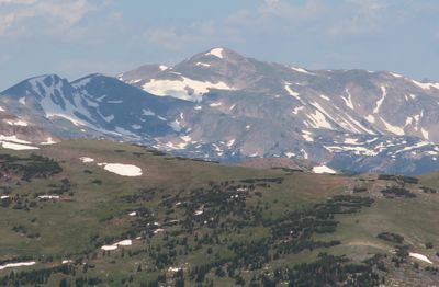
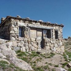
Clark Peak, Mountain summit in Larimer County, Colorado, US.
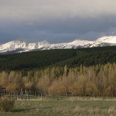
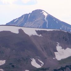
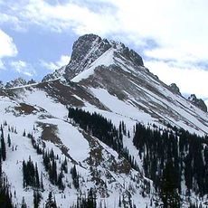
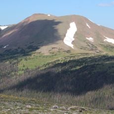
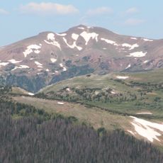
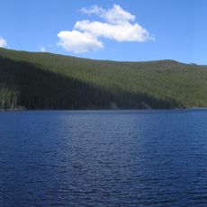
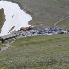
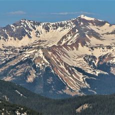
Clark Peak is a mountain summit in the Medicine Bow Range with steep slopes and rocky formations running along its southeastern ridge. The peak sits at about 3,950 meters (13,000 feet) in elevation and is surrounded by dense forest and alpine meadows.
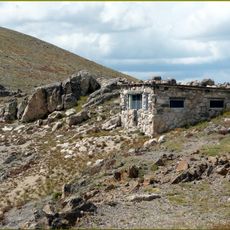
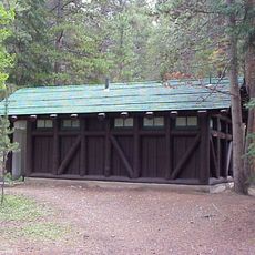
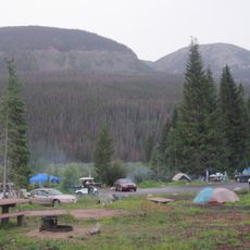
The mountain lies within Roosevelt National Forest and is part of the protected Rawah Wilderness area. The region has a long history as hunting and trapping country before it was designated as a protected natural area.
Local climbing communities maintain detailed route information for Clark Peak, sharing knowledge through established mountaineering networks and documentation systems.
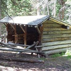
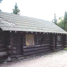
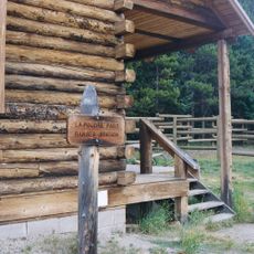
Reaching the summit requires traversing rocky terrain and is most easily accessed via the West Branch Trail or Blue Lake Trail. The best time to climb is from summer through early fall when snow melts and trails are passable.
The summit marks the northernmost high-elevation point in Colorado and is also the highest point of the Medicine Bow Range. This geographic distinction makes it a special reference point for climbers exploring different high-altitude regions.
Location: Colorado
Elevation above the sea: 3,947 m
GPS coordinates: 40.60665,-105.93001
Latest update: December 12, 2025 17:45
Trail Ridge Road
22.6 km
Alpine Visitor Center
23.7 km
State Forest State Park
12.6 km
Milner Pass
23.1 km
Rawah Wilderness
18.8 km
Mount Richthofen
15.6 km
Nokhu Crags
13.9 km
Specimen Mountain
20.7 km
Iron Mountain
12.9 kmBraddock Peak
14.2 km
Fall River Pump House and Catchment Basin
24.3 km
Willow Park Patrol Cabin
25.4 km
Timberline Cabin
24.2 km
Timber Creek Campground Comfort Stations
26 km
Fall River Pass Ranger Station
23.7 km
Comanche Reservoir
23.8 km
Willow Park Stable
25.5 km
Milner Pass Road Camp Mess Hall and House
23.4 km
Timber Creek Campground Comfort Station No. 247
26.3 km
Timber Creek Campground Comfort Station No. 245
26.2 km
Timber Creek Campground Comfort Station No. 246
26.2 km
Fall River Pass Historic District
23.7 km
Alpine Ridge Trail
23.6 km
La Poudre Pass Ranger Station
17.1 km
Gore Range Overlook
23.7 km
Timber Creek Campground
26.2 km
Alpine Visitor Center Viewpoint
23.7 km
Mount Stratus
24.2 kmVisited this place? Tap the stars to rate it and share your experience / photos with the community! Try now! You can cancel it anytime.
Discover hidden gems everywhere you go!
From secret cafés to breathtaking viewpoints, skip the crowded tourist spots and find places that match your style. Our app makes it easy with voice search, smart filtering, route optimization, and insider tips from travelers worldwide. Download now for the complete mobile experience.
A unique approach to discovering new places❞
— Le Figaro
All the places worth exploring❞
— France Info
A tailor-made excursion in just a few clicks❞
— 20 Minutes