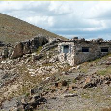
Iron Mountain, Mountain summit in Larimer County and Jackson County, United States
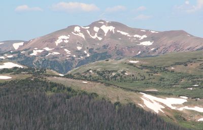
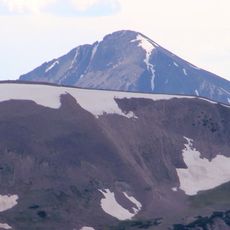
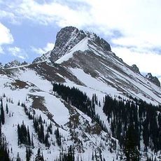
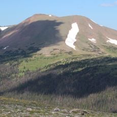
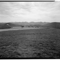
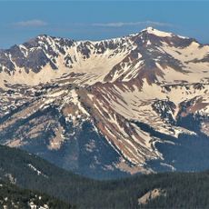
Iron Mountain is a summit in the Never Summer Mountains standing at 12,270 feet and marking a natural boundary between two counties. Its steep sides and exposed rock faces create a distinctive profile along the ridgeline.
The peak became a natural boundary marker when protected lands were established in Colorado, dividing the State Forest State Park from the Roosevelt National Forest. This designation reflected efforts to manage the mountain region and preserve its natural character.
The peak served as a navigation point for Ute and other Native peoples moving through the mountains with the seasons. They used its distinctive shape to orient themselves while traveling through this region.
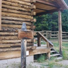
Start your hike early in the day to avoid afternoon storms that build quickly during summer. Weather on the exposed ridgeline can shift rapidly, so plan to descend well before darkness falls.
This peak ranks as the third-highest point within State Forest State Park while also creating a natural drainage divide between the two counties it borders. This dual role makes it significant for both hikers and the region's water systems.
Location: Larimer County
Location: Jackson County
GPS coordinates: 40.50693,-105.85196
Latest update: December 14, 2025 14:26
Trail Ridge Road
9.6 km
Alpine Visitor Center
11 km
State Forest State Park
13.4 km
Milner Pass
10.3 km
Mount Richthofen
5.5 km
Nokhu Crags
4.2 km
Clark Peak
12.9 km
Holzwarth Historic District
15 km
Specimen Mountain
7.8 kmBraddock Peak
6 km
Fall River Pump House and Catchment Basin
11.7 km
Willow Park Patrol Cabin
12.9 km
Timberline Cabin
11.7 km
Timber Creek Campground Comfort Stations
14.1 km
Fall River Pass Ranger Station
11 km
Willow Park Stable
13 km
Milner Pass Road Camp Mess Hall and House
10.7 km
Timber Creek Campground Comfort Station No. 247
14.4 km
Timber Creek Campground Comfort Station No. 245
14.2 km
Timber Creek Campground Comfort Station No. 246
14.2 km
Fall River Pass Historic District
11 km
Alpine Ridge Trail
11.1 km
La Poudre Pass Ranger Station
4.1 km
Tundra Communities Trail
14.9 km
Gore Range Overlook
10.9 km
Timber Creek Campground
14.3 km
Alpine Visitor Center Viewpoint
11.1 km
Mount Stratus
13.7 kmVisited this place? Tap the stars to rate it and share your experience / photos with the community! Try now! You can cancel it anytime.
Discover hidden gems everywhere you go!
From secret cafés to breathtaking viewpoints, skip the crowded tourist spots and find places that match your style. Our app makes it easy with voice search, smart filtering, route optimization, and insider tips from travelers worldwide. Download now for the complete mobile experience.
A unique approach to discovering new places❞
— Le Figaro
All the places worth exploring❞
— France Info
A tailor-made excursion in just a few clicks❞
— 20 Minutes