Flat Top Mountain, Mountain summit in Garfield County, Colorado
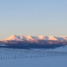
Flat Top Mountain is the highest summit of the Flat Tops, a range in the southern Rocky Mountains of Colorado. It rises to 12,361 feet (3,768 m) on the drainage divide between White River National Forest and Routt National Forest, 19.1 miles south-southwest of Oak Creek. The peak is the highest point in Garfield County.
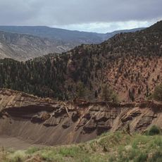
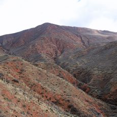
The mountain was shaped by volcanic rock layers laid down long ago, which were later worn down by wind and water. The flat top is what remains after millions of years of erosion stripped away the softer rock on the sides.
Flat Top Mountain lies on the drainage divide between Routt National Forest and White River National Forest, and its summit is the highest point in Garfield County. The peak stands 19.1 miles south-southwest of the town of Oak Creek, Colorado.
Trails leading to the summit are generally accessible from early summer through fall, once the snow melts. Weather at this elevation can shift quickly, so warm layers and plenty of water are important even on a sunny morning.
Flat Top Mountain is the highest point in Garfield County, Colorado, at 12,361 feet (3,768 m). It also ranks among Colorado's ten most prominent peaks, with 1,229 m of prominence. The summit sits on the drainage divide between Routt National Forest and White River National Forest, 30.7 km south-southwest of Oak Creek.
The community of curious travelers
AroundUs brings together thousands of curated places, local tips, and hidden gems, enriched daily by 94,450 contributors worldwide.