Flat Tops Wilderness Area, Nature reserve in Eagle County, Colorado, US
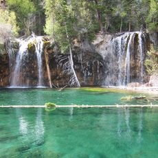
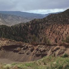
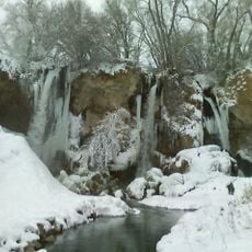
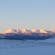
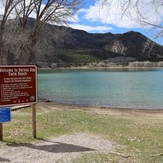
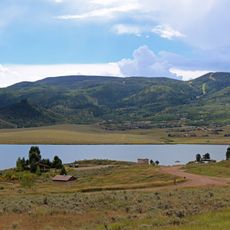
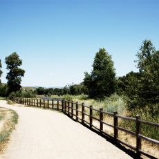
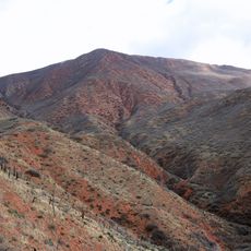
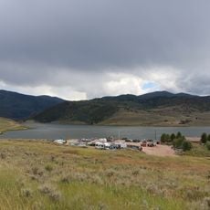
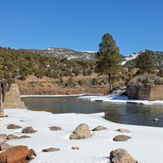
Flat Tops Wilderness Area is a large nature reserve in White River National Forest featuring plateaus, lakes, and mountain peaks. The landscape shows flat-topped summits and is crossed by over 160 trails.
In 1932 the Forest Service set aside 118,230 acres as the Flat Tops Primitive Area. After the 1964 Wilderness Act, a 1967 review recommended 142,230 acres, while conservation groups sought 230,000 acres. Congress designated 235,230 acres in December 1975, signed by President Gerald Ford, including contested South Fork of the White River lands.
The Devil's Causeway is a narrow neck of the plateau where glaciers eroding from both sides almost met; at its narrowest the trail is 3 to 4 feet wide, with drop-offs of hundreds of feet into the valleys on either side. A trail crosses it, and it is the Flat Tops' best-known geologic feature and hiking experience.
Visitors should bring printed maps since the area has no cell phone coverage and motorized vehicles are not allowed. Conditions can change quickly and good preparation is important.
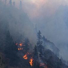
The 2002 Big Fish and Lost Lake fires, both started by lightning, burned more than 22,500 acres, almost a tenth of the Wilderness. The name Flat Tops comes from the level basalt-capped plateau, not from any single peak. The highest point, Flat Top Mountain at 12,361 feet, stands on the east side of the range.
The community of curious travelers
AroundUs brings together thousands of curated places, local tips, and hidden gems, enriched daily by 94,449 contributors worldwide.