Eagle County, Administrative county in Colorado, United States.
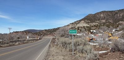
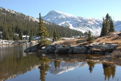
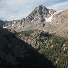
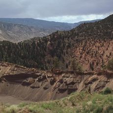
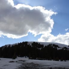
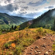
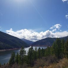
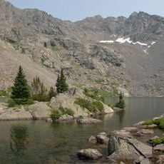
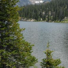
Eagle County is a large administrative county in the mountains of central Colorado spanning over 1,600 square miles of varied terrain. The White River National Forest dominates the region and provides numerous areas for hiking, hunting, and other outdoor recreation.
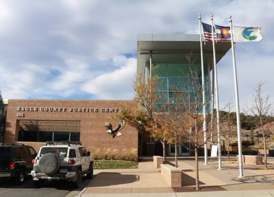
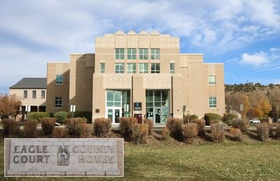
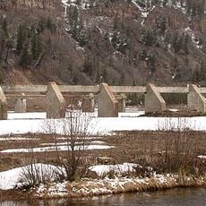
The Colorado legislature created this county in 1883 from portions of Summit County, first establishing Red Cliff as the administrative seat. The seat moved to Eagle in 1921, reflecting how settlement shifted within the region.
The Eagle County Fair and Rodeo draws local communities together each year to celebrate agricultural traditions, regional cooking, and ranching culture. The event reflects the rural identity that continues to shape the valley today.
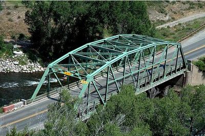
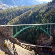
Eagle County Regional Airport provides flight connections to other parts of the country, while Interstate 70 serves as the main road through the mountains. Visitors should prepare for mountain roads and changing weather conditions, especially during winter months.
The Ground Hog Mine near Red Cliff produced rare gold-bearing crystal formations that resembled ram's horns. One particularly striking specimen from this mine is now housed in a mineral collection on the East Coast.
The community of curious travelers
AroundUs brings together thousands of curated places, local tips, and hidden gems, enriched daily by 60,000 contributors worldwide.