Enable Location

We need your location to show you interesting places around you

Discover nearby places

Find interesting locations and hidden gems around you

Precise directions

Get accurate directions and distances to places

Your location is never shared with other users. It's only used when you tap the location button.

Crowley County

Log in to your account

Start exploring — it's free

Trusted by 62,182 travelers worldwide

Continue with Google
Continue with Apple
or

We will send you a code to connect

By continuing, you accept our Terms and Conditions and our Privacy Policy

Check your inbox

We've sent a pincode in your inbox. Please enter the code below.

Crowley County, Rural administrative division in southeastern Colorado, United States.

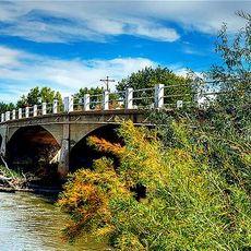
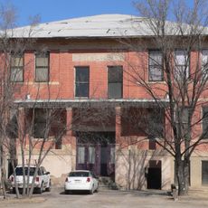
Crowley County is a rural administrative division in southeastern Colorado located on flat plains with gentle rolling hills. The territory spans across the high plains region of this part of Colorado with Ordway serving as the administrative center.

The territory was established as a separate county in 1911, created from the northern portion of a larger neighboring county. This division aimed to bring government services closer to residents by reducing travel distances to official offices.

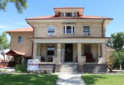
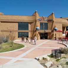
The Crowley Heritage Center and Museum displays local artifacts and reflects the traditions of early settlers through working windmills and traditional outdoor baking ovens. These objects tell stories about the skills and daily lives of the communities that shaped the region.

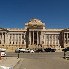
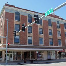
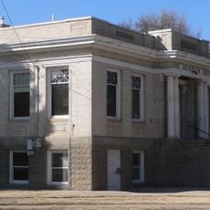
Administrative offices operate from Monday through Friday at the Courthouse Annex in Ordway, providing services to residents. The region is sparsely populated, so most services are concentrated at this central location.

A 1953 Imperial Pullman railroad sleeper car sits on the property and could eventually be transformed into visitor lodging. This unusual rail object was acquired in 2006 and awaits potential redevelopment.

The community of curious travelers

AroundUs brings together thousands of curated places, local tips, and hidden gems, enriched daily by 60,000 contributors worldwide.

Start exploring
GPS coordinates
38.33948,-103.82630
Latest update
December 7, 2025 19:27
Around this place
Fort Lyon
United States of America

Fort Lyon

67.5 km
Pueblo Weisbrod Aircraft Museum
United States of America

Pueblo Weisbrod Aircraft Museum

58.9 km
Koshare Indian Museum
United States of America

Koshare Indian Museum

47.8 km
Buell Children's Museum
United States of America

Buell Children's Museum

68.6 km
Bent County High School
United States of America

Bent County High School

60.3 km
3 Margaritas
United States of America

3 Margaritas

68.7 km
Pueblo County Courthouse
United States of America

Pueblo County Courthouse

68.7 km
Sangre de Cristo Arts and Conference Center
United States of America

Sangre de Cristo Arts and Conference Center

68.6 km
Bent County Courthouse and Jail
United States of America

Bent County Courthouse and Jail

61.3 km
Pueblo Federal Building
United States of America

Pueblo Federal Building

68.7 km
St. Charles Bridge
United States of America

St. Charles Bridge

64.8 km
Colorado Building
United States of America

Colorado Building

68.7 km
Crowley School
United States of America

Crowley School

16.3 km
Dr. Frank Finney House
United States of America

Dr. Frank Finney House

46.6 km
Butler House
United States of America

Butler House

66 km
Avondale Bridge
United States of America

Avondale Bridge

46.9 km
Hotel Holly–Haswell Hotel
United States of America

Hotel Holly–Haswell Hotel

59.2 km
Art Building
United States of America

Art Building

32.7 km
Young Women's Christian Association
United States of America

Young Women's Christian Association

68.5 km
North La Junta School
United States of America

North La Junta School

45.7 km
Carnegie Public Library
United States of America

Carnegie Public Library

33.6 km
Huerfano Bridge
United States of America

Huerfano Bridge

40.1 km
Wilson A. Hart House
United States of America

Wilson A. Hart House

47.1 km
La Junta Swimming Pool
United States of America

La Junta Swimming Pool

45.8 km
Fox Theater
United States of America

Fox Theater

46.5 km
Grand Theater
United States of America

Grand Theater

33.4 km
Fay's Crossing Bridge
United States of America

Fay's Crossing Bridge

68.7 km
Santa Fe Avenue Bridge
United States of America

Santa Fe Avenue Bridge

68.8 km
Show the full map
« Crowley County - Rural administrative division in southeastern Colorado, United States » is provided by Around Us (aroundus.com). Images and texts are derived from Wikimedia project under a Creative Commons license. You are allowed to copy, distribute, and modify copies of this page, under the conditions set by the license, as long as this note is clearly visible.

Discover hidden gems everywhere you go!

From secret cafés to breathtaking viewpoints, skip the crowded tourist spots and find places that match your style. Our app makes it easy with voice search, smart filtering, route optimization, and insider tips from travelers worldwide. Download now for the complete mobile experience.

Around Us App Screenshot

A unique approach to discovering new places

Le Figaro

All the places worth exploring

France Info

A tailor-made excursion in just a few clicks

20 Minutes

Around Us
Travel Guide & Maps
Download

Send to your phone

QR Code
1

Open the camera app on your mobile.

2

Point at the QR code with your camera. A notification will appear.

3

Tap the notification to open the link.