Conejos County, Administrative county in southern Colorado, US
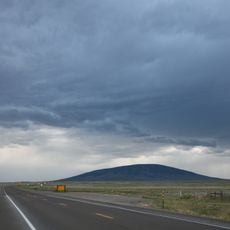
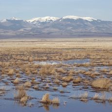
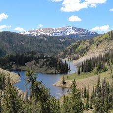
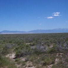
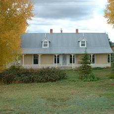
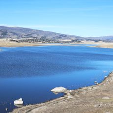
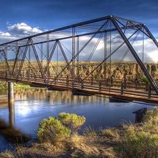
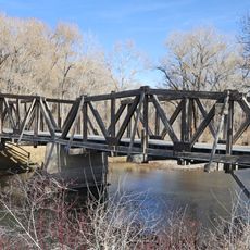
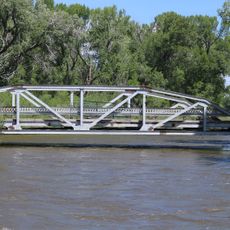
Conejos County is an administrative county in southern Colorado that covers about 1,290 square miles (3,340 square kilometers) across the San Luis Valley. The landscape includes mountain terrain in the west and open valley areas that define the region's geography.
The Colorado legislature created this county in November 1861 as one of the original 17 counties in the state. It was briefly called Guadalupe County for just one week before receiving its current name.
The chapel dedicated to Our Lady of Guadalupe in Conejos was Colorado's first church and reflects the spiritual importance of this early settlement. It continues to shape community life and shows the Spanish colonial influence that remains visible in the region.
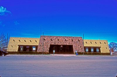
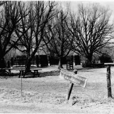
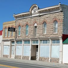
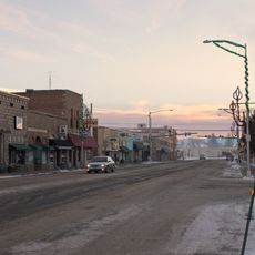
The county includes five incorporated towns and several smaller communities, with government offices in the unincorporated town of Conejos. Visitors should expect rural distances and scattered services across the region.
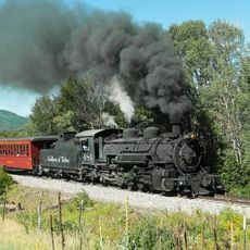
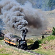
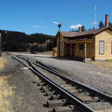
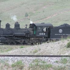
One of the most notable features is the Cumbres and Toltec Scenic Railroad, which runs from Antonito through mountain passes toward Chama, New Mexico. The railroad operates its original 1880 route, offering travelers a journey through high mountain scenery by vintage rail.
Location: Colorado
Inception: November 1, 1861
Capital city: Conejos
Shares border with: Rio Grande County, Alamosa County, Costilla County, Taos County, Rio Arriba County, Archuleta County
Website: http://conejoscounty.org
GPS coordinates: 37.21000,-106.19000
Latest update: December 7, 2025 19:22
Cumbres and Toltec Scenic Railroad
49.1 km
Rio Grande Scenic Railroad
40.5 km
Cumbres Pass
31.3 km
San Antonio Mountain
41.9 km
D&RGW 463
48.5 km
Monte Vista National Wildlife Refuge
31.6 km
Alamosa National Wildlife Refuge
42.9 km
Conejos Peak
34.9 km
Bennett Peak
37.3 km
Pike's Stockade
34.9 km
D&RGW 169
41 km
San Luis Hills
40 km
Closed Basin Project
59.3 km
Terrace Reservoir
19.4 km
St. Thomas Episcopal Church
40.7 km
American National Bank Building
40.7 km
Carnegie Library
41.4 km
Samuel Sanchez House
59.3 km
Palace Hotel
21.9 km
San Luis Southern Railway Trestle
60.2 km
Alamosa County Courthouse
40.6 km
Monte Vista Downtown Historic District
41.4 km
Husung Hardware
40.6 km
Sanchez-March House
62.3 km
La Jara Reservoir
15.8 km
Costilla Crossing Bridge
41.1 km
Sutherland Bridge
51.4 km
Wheeler Bridge
50.6 kmVisited this place? Tap the stars to rate it and share your experience / photos with the community! Try now! You can cancel it anytime.
Discover hidden gems everywhere you go!
From secret cafés to breathtaking viewpoints, skip the crowded tourist spots and find places that match your style. Our app makes it easy with voice search, smart filtering, route optimization, and insider tips from travelers worldwide. Download now for the complete mobile experience.
A unique approach to discovering new places❞
— Le Figaro
All the places worth exploring❞
— France Info
A tailor-made excursion in just a few clicks❞
— 20 Minutes