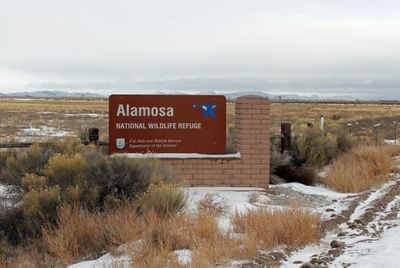
Alamosa National Wildlife Refuge, National Wildlife Refuge in southern Colorado, United States.
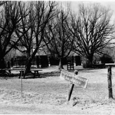
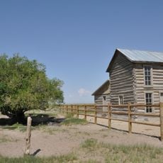
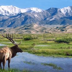
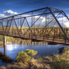
Alamosa National Wildlife Refuge is a federally protected area along the Rio Grande in southern Colorado, made up of wetlands and river floodplains. It provides habitat for hundreds of bird species, including migratory birds, raptors, and waterfowl that depend on the mix of open water and riparian vegetation.
The refuge was established in 1962 by the United States Fish and Wildlife Service, with the goal of protecting migratory birds along their routes. Over the decades, management efforts have helped maintain the wetland habitats that make this stretch of the Rio Grande a key stop for wildlife.
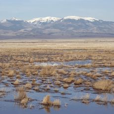
The name of the refuge comes from the nearby Alamosa River, which runs through this part of southern Colorado. During migration seasons, visitors can watch large groups of cranes feeding and resting across the open floodplains.
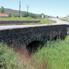
The refuge is open from one hour before sunrise to one hour after sunset, so early morning visits tend to offer the best chances of seeing birds. The main entrance is near Highway 160, and once inside, visitors can explore on foot along walking paths or by car along a drive route.
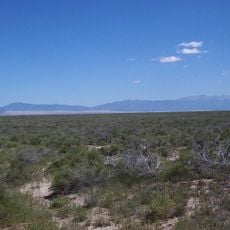
The refuge sits on the edge of the San Luis Valley, one of the highest and driest high valleys in North America, which makes its wetlands a rare contrast in the surrounding landscape. This unusual position turns the area into a key stop for migratory birds that find no comparable water source nearby.
The community of curious travelers
AroundUs brings together thousands of curated places, local tips, and hidden gems, enriched daily by 60,000 contributors worldwide.