Chest opened
+${chestReward.xp} XP
Explorer
NOUVEAU ×${chestReward.collectible.quantity}
tapez pour fermer

See the monuments around you in AR Open chests in the app

Around Us is built for your phone — point your camera at the streets and discover the monuments and places around you in augmented reality. Around Us is built for your phone — chests unlock when you walk, explore and capture nearby places.

Enable Location

We need your location to show you interesting places around you

Discover nearby places

Find interesting locations and hidden gems around you

Precise directions

Get accurate directions and distances to places

Your location is never shared with other users. It's only used when you tap the location button.

Little Bear Peak

Log in to your account

Start exploring — it's free

Trusted by 85,927 travelers worldwide

Continue with Google
Continue with Apple
or

We will send you a code to connect

By continuing, you accept our Terms and Conditions and our Privacy Policy

Check your inbox

We've sent a pincode in your inbox. Please enter the code below.

Little Bear Peak
Discussion Reviews 1 Photos
4.4k Popularity

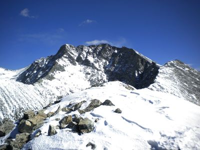
Little Bear Peak, Mountain summit in Sangre de Cristo Range, Colorado, US

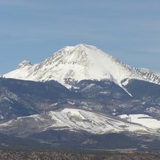
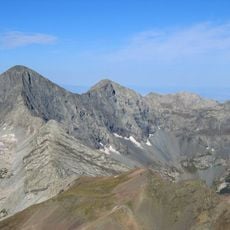
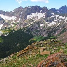
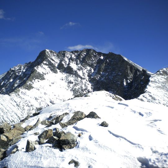
Little Bear Peak is a summit in the Sangre de Cristo Range that reaches 14,037 feet elevation. The mountain features steep rocky slopes and exposed climbing passages that require significant technical skill to navigate.

The peak received its name during the early 1900s as mountaineers began seeking out Colorado's highest summits. It gradually gained recognition as one of the more demanding technical objectives in the area.

Local mountaineering groups consider Little Bear Peak one of the most demanding climbs among Colorado's peaks, requiring solid preparation and climbing experience.

The main route begins at the Lake Como trailhead and involves technical rock climbing sections requiring Class 4 skills. Visitors should have solid climbing experience before attempting this peak.

A distinctive section known as the Hourglass appears on the climbing route where water flows down the rock face year-round. This flowing water feature adds an unexpected environmental challenge to the ascent.

The community of curious travelers

AroundUs brings together thousands of curated places, local tips, and hidden gems, enriched daily by 60,000 contributors worldwide.
Start exploring
Location
Location
GPS coordinates
37.56667,-105.49723
Latest update
September 3, 2026 15:07
Around this place
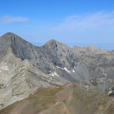
Blanca Peak
United States of America

Blanca Peak

1 mi
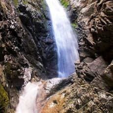
Zapata Falls
United States of America

Zapata Falls

4.7 mi
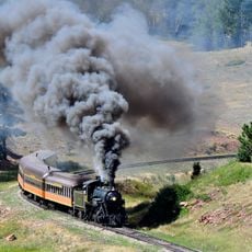
Rio Grande Scenic Railroad
United States of America

Rio Grande Scenic Railroad

21.4 mi
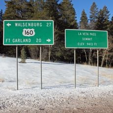
North La Veta Pass
United States of America

North La Veta Pass

17.2 mi
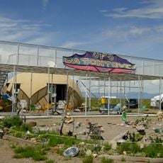
UFO Watchtower
United States of America

UFO Watchtower

26.3 mi
Fort Garland
United States of America

Fort Garland

10.5 mi
Mount Lindsey
United States of America

Mount Lindsey

3.1 mi
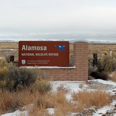
Alamosa National Wildlife Refuge
United States of America

Alamosa National Wildlife Refuge

18.8 mi
Ellingwood Point
United States of America

Ellingwood Point

1.1 mi
Mount Mestas
United States of America

Mount Mestas

19.2 mi
Pike's Stockade
United States of America

Pike's Stockade

25.5 mi
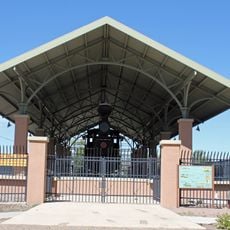
D&RGW 169
United States of America

D&RGW 169

21.1 mi
Closed Basin Project
United States of America

Closed Basin Project

9.8 mi
United States of America

Iron Mountain

14.2 mi
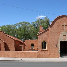
St. Thomas Episcopal Church
United States of America

St. Thomas Episcopal Church

21.3 mi
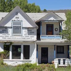
Trujillo Homestead
United States of America

Trujillo Homestead

17.4 mi
A. A. Salazar House
United States of America

A. A. Salazar House

25.5 mi
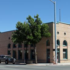
American National Bank Building
United States of America

American National Bank Building

21.3 mi
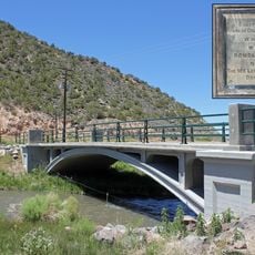
San Luis Bridge
United States of America

San Luis Bridge

26.1 mi
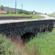
Rito Seco Creek Culvert
United States of America

Rito Seco Creek Culvert

25.7 mi
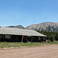
Superintendent's Residence, Great Sand Dunes National Monument
United States of America

Superintendent's Residence, Great Sand Dunes National Monument

11 mi
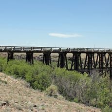
San Luis Southern Railway Trestle
United States of America

San Luis Southern Railway Trestle

12.8 mi
Alamosa County Courthouse
United States of America

Alamosa County Courthouse

21.4 mi
Husung Hardware
United States of America

Husung Hardware

21.3 mi
Upper Sand Creek Lake
United States of America

Upper Sand Creek Lake

25.9 mi
Big Spring Creek
United States of America

Big Spring Creek

15.5 mi
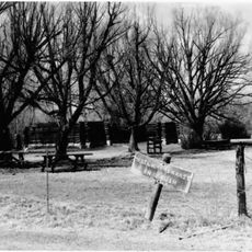
Medano Ranch Headquarters
United States of America

Medano Ranch Headquarters

14.4 mi
Lower Sand Creek Lake
United States of America

Lower Sand Creek Lake

25.2 mi
Show the full map
Reviews
Share your experience

No review yet

Discussions
Start a discussion...

No discussion yet

« Little Bear Peak - Mountain summit in Sangre de Cristo Range, Colorado, US » is provided by Around Us (aroundus.com). Images and texts are derived from Wikimedia project under a Creative Commons license. You are allowed to copy, distribute, and modify copies of this page, under the conditions set by the license, as long as this note is clearly visible.

Discover hidden gems everywhere you go!

From secret cafés to breathtaking viewpoints, skip the crowded tourist spots and find places that match your style. Our app makes it easy with voice search, smart filtering, route optimization, and insider tips from travelers worldwide. Download now for the complete mobile experience.
Around Us App Screenshot

A unique approach to discovering new places

Le Figaro

All the places worth exploring

France Info

A tailor-made excursion in just a few clicks

20 Minutes

Around Us
Travel Guide & Maps
Download

Send to your phone

QR Code
1

Open the camera app on your mobile.

2

Point at the QR code with your camera. A notification will appear.

3

Tap the notification to open the link.