Enable Location

We need your location to show you interesting places around you

Discover nearby places

Find interesting locations and hidden gems around you

Precise directions

Get accurate directions and distances to places

Your location is never shared with other users. It's only used when you tap the location button.

Blanca Peak

Log in to your account

Start exploring — it's free

Trusted by travelers worldwide

Continue with Google
Continue with Apple
or

We will send you a code to connect

By continuing, you accept our Terms and Conditions and our Privacy Policy

Check your inbox

We've sent a pincode in your inbox. Please enter the code below.

Blanca Peak

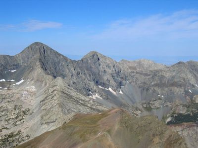
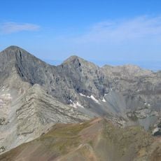
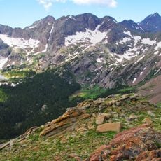
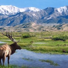
Blanca Peak, Mountain summit in Sangre de Cristo Range, Colorado, US

Description

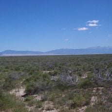
Blanca Peak is a granite summit in the Sangre de Cristo Range that rises to approximately 4,374 meters. This mountain forms part of the Sierra Blanca Massif and is defined by its distinctive light-colored granite composition.

History

The summit was first climbed by the Wheeler Survey team in 1874, who discovered old stone structures at the top. These early findings suggest the mountain held significance well before this official expedition reached it.

Culture

The Navajo people call this mountain Sisnaajiní and regard it as a Sacred Mountain of the East, marking the boundary of their ancestral lands. This deeply shapes how the landscape is understood in their spiritual geography.

Practical

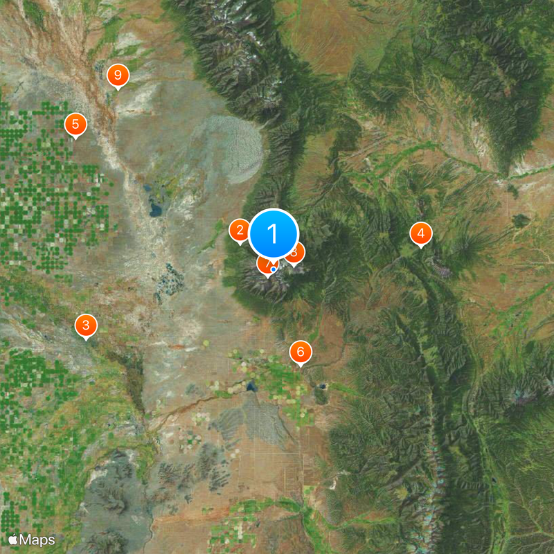
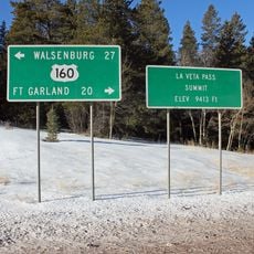
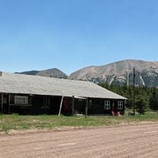
The Lake Como Road Trailhead is the usual starting point for those attempting the climb. Weather can shift rapidly in the mountains, so proper gear and careful attention to conditions are essential.

Did you know?

The mountain is made of pre-Cambrian granite formations roughly 1.8 billion years old, making it geologically much older than the surrounding rock types. This ancient stone gives the peak a distinct geological identity among other mountains in the region.

Location
Elevation above the sea
4,374 m
Made from material
granite
GPS coordinates
37.57761,-105.48553
Latest update
December 20, 2025 11:22

AroundUs brings together thousands of curated places, local tips, and hidden gems, enriched daily by 60,000 contributors worldwide. Discover all places nearby (Colorado).

Around this place
Zapata Falls
United States of America

Zapata Falls

7.5 km
Rio Grande Scenic Railroad
United States of America

Rio Grande Scenic Railroad

35.7 km
North La Veta Pass
United States of America

North La Veta Pass

26.5 km
UFO Watchtower
United States of America

UFO Watchtower

42.5 km
Fort Garland
United States of America

Fort Garland

17.7 km
Little Bear Peak
United States of America

Little Bear Peak

1.6 km
Mount Lindsey
United States of America

Mount Lindsey

3.7 km
Baca National Wildlife Refuge
United States of America

Baca National Wildlife Refuge

42.5 km
Alamosa National Wildlife Refuge
United States of America

Alamosa National Wildlife Refuge

31.8 km
Ellingwood Point
United States of America

Ellingwood Point

831 m
Mount Mestas
United States of America

Mount Mestas

29.9 km
D&RGW 169
United States of America

D&RGW 169

35.3 km
Closed Basin Project
United States of America

Closed Basin Project

16.9 km
United States of America

Iron Mountain

21.5 km
Montoya Ranch
United States of America

Montoya Ranch

41 km
St. Thomas Episcopal Church
United States of America

St. Thomas Episcopal Church

35.7 km
Trujillo Homestead
United States of America

Trujillo Homestead

28.1 km
A. A. Salazar House
United States of America

A. A. Salazar House

42.1 km
American National Bank Building
United States of America

American National Bank Building

35.6 km
Rito Seco Creek Culvert
United States of America

Rito Seco Creek Culvert

42.4 km
Superintendent's Residence, Great Sand Dunes National Monument
United States of America

Superintendent's Residence, Great Sand Dunes National Monument

16.7 km
San Luis Southern Railway Trestle
United States of America

San Luis Southern Railway Trestle

21.9 km
Alamosa County Courthouse
United States of America

Alamosa County Courthouse

35.8 km
Husung Hardware
United States of America

Husung Hardware

35.7 km
Upper Sand Creek Lake
United States of America

Upper Sand Creek Lake

40.6 km
Big Spring Creek
United States of America

Big Spring Creek

24.4 km
Medano Ranch Headquarters
United States of America

Medano Ranch Headquarters

23.1 km
Lower Sand Creek Lake
United States of America

Lower Sand Creek Lake

39.4 km
Show the full map
« Blanca Peak - Mountain summit in Sangre de Cristo Range, Colorado, US » is provided by Around Us (aroundus.com). Images and texts are derived from Wikimedia project under a Creative Commons license. You are allowed to copy, distribute, and modify copies of this page, under the conditions set by the license, as long as this note is clearly visible.

Discover hidden gems everywhere you go!

From secret cafés to breathtaking viewpoints, skip the crowded tourist spots and find places that match your style. Our app makes it easy with voice search, smart filtering, route optimization, and insider tips from travelers worldwide. Download now for the complete mobile experience.

Around Us App Screenshot

A unique approach to discovering new places

Le Figaro

All the places worth exploring

France Info

A tailor-made excursion in just a few clicks

20 Minutes

Around Us
Travel Guide & Maps
Download

Send to your phone

QR Code
1

Open the camera app on your mobile.

2

Point at the QR code with your camera. A notification will appear.

3

Tap the notification to open the link.