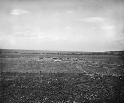
Fort Garland, Military fort in Costilla County, Colorado, US
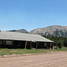
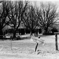
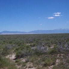
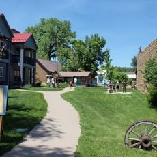
Fort Garland is a historic military post in the San Luis Valley in Colorado, made up of several adobe buildings arranged around an open parade ground. It now operates as a museum under the Colorado History Museum system and is listed on the National Register of Historic Places.
The fort was established in 1858 to protect settlers and trade routes in what was then the frontier of southern Colorado. It was abandoned in 1883 after the army decided it was no longer needed as the region became more settled.
The fort displays rooms furnished as they were when soldiers lived there, giving a direct sense of daily life on the frontier. One section is dedicated to the Buffalo Soldiers, the African American troops who were stationed here after the Civil War.
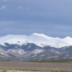
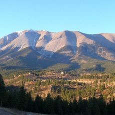
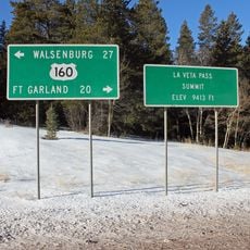
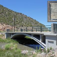
The site is easy to reach by car and sits right in the small town of Fort Garland, along US Highway 160. Winters in the valley can be cold and snowy, so if you visit between November and March, check road conditions before heading out.
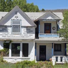
Kit Carson, the famous frontier scout, commanded the fort from 1866 to 1867, and his reconstructed quarters can still be visited today. The rooms are furnished to reflect how he and his family lived during that posting.
The community of curious travelers
AroundUs brings together thousands of curated places, local tips, and hidden gems, enriched daily by 60,000 contributors worldwide.