Culebra Peak, Mountain summit in Costilla County, United States.
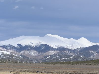
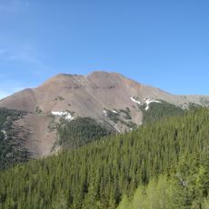
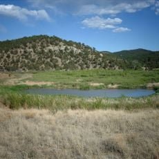
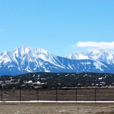
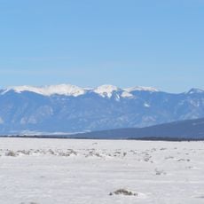
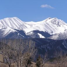
Culebra Peak is a mountain summit in the Sangre de Cristo range, located in Costilla County in southern Colorado. It rises to about 14,047 feet (4,282 meters), making it one of the highest points in the state, with steep flanks and sharp ridges dropping away on all sides.
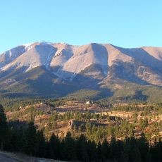
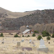
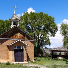
The peak takes its Spanish name from the period when Spanish colonists mapped and settled the high country of what is now southern Colorado. Over time, the surrounding land was consolidated into large ranches that still control access to the mountain today.
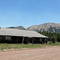
The name Culebra means "snake" in Spanish, likely inspired by the winding ridgelines visible from below. The surrounding land still carries traces of the ranching traditions brought by Spanish-speaking settlers who shaped this part of southern Colorado over many generations.
The mountain sits on private land, so any visit requires advance permission from the landowner, which is typically granted through a seasonal access program. The terrain is demanding and involves significant elevation gain, so solid mountain experience and proper gear are necessary before attempting the summit.
Culebra Peak is the highest privately owned mountain in North America, which means that despite its elevation, it is not open to the general public. Because access is capped each year, the summit sees far fewer visitors than other peaks of similar height in Colorado.
The community of curious travelers
AroundUs brings together thousands of curated places, local tips, and hidden gems, enriched daily by 60,000 contributors worldwide.