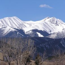
Spanish Peaks Wilderness, Protected wilderness area in southern Colorado, United States.
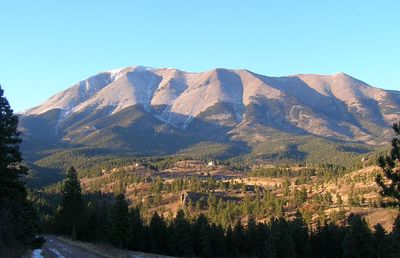
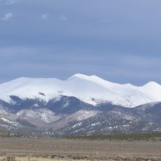
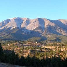
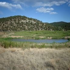
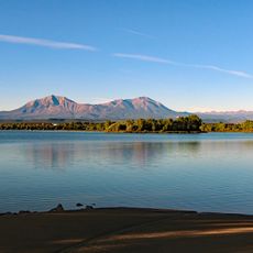
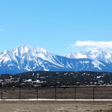
Spanish Peaks Wilderness is a protected area in southern Colorado covering about 19,000 acres of mountain terrain with two prominent summits rising above 13,000 feet. The landscape features steep valleys, rocky ridges, and varied elevation changes that define its rugged character.
Congress designated this area as protected wilderness in the year 2000, adding it to the National Wilderness Preservation System. The designation ensured the land would remain in its natural state for future generations.
Native peoples of the region held these twin peaks as landmarks in their traditions and way of life. Visitors walking through the area can sense the long human connection to this mountain landscape.
Visitors should bring sufficient water, navigation tools, and emergency supplies before entering, as developed facilities are absent throughout the area. Cell phone reception is unreliable, so self-reliance and proper planning are essential for safety.
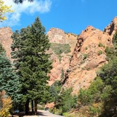
The area features rare radiating dikes of dolerite that extend outward from the peaks like natural stone walls across the landscape. These geological formations create an unusual pattern that becomes visible when trekking through different parts of the wilderness.
The community of curious travelers
AroundUs brings together thousands of curated places, local tips, and hidden gems, enriched daily by 60,000 contributors worldwide.