Chest opened
+${chestReward.xp} XP
Explorer
NOUVEAU ×${chestReward.collectible.quantity}
tapez pour fermer

See the monuments around you in AR Open chests in the app

Around Us is built for your phone — point your camera at the streets and discover the monuments and places around you in augmented reality. Around Us is built for your phone — chests unlock when you walk, explore and capture nearby places.

Enable Location

We need your location to show you interesting places around you

Discover nearby places

Find interesting locations and hidden gems around you

Precise directions

Get accurate directions and distances to places

Your location is never shared with other users. It's only used when you tap the location button.

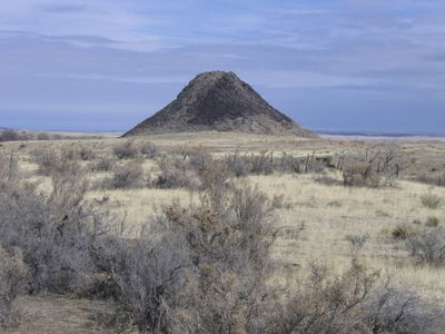
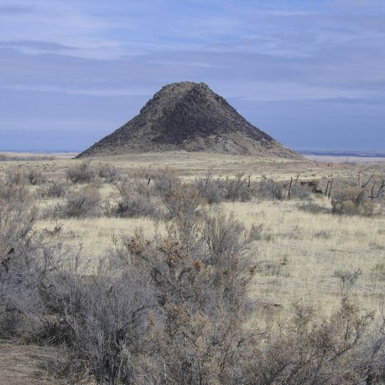
Huerfano Butte

Log in to your account

Start exploring — it's free

Trusted by 85,752 travelers worldwide

Continue with Google
Continue with Apple
or

We will send you a code to connect

By continuing, you accept our Terms and Conditions and our Privacy Policy

Check your inbox

We've sent a pincode in your inbox. Please enter the code below.

Huerfano Butte
Discussion Reviews 1 Photos
6.4k Popularity

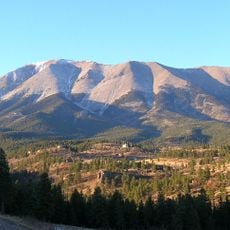
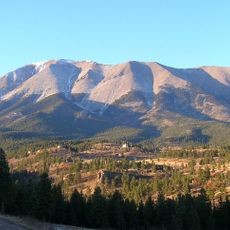
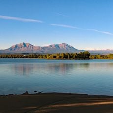
Huerfano Butte, Volcanic summit in Huerfano County, Colorado, USA.

Huerfano Butte is a volcanic summit in Huerfano County that rises about 300 feet (90 meters) above the surrounding arid scrubland. Large basalt boulders dot the upper slopes, while the base consists of finer sediment and rock fragments.

The butte formed as an igneous intrusion that never erupted but was instead exposed through erosion over time. In the 1800s, General John C. Frémont conducted surveys in the area and proposed building a railway route so passengers could enjoy mountain views.

The name Huerfano comes from Spanish explorers who called this place 'orphan' because of how alone it stands in the landscape north of Walsenburg. Local people use it as a landmark to navigate the otherwise flat terrain.

Visiting this butte requires obtaining permission from local landowners since the area is privately held. Bring plenty of water and watch for loose rocks and cacti while exploring the slopes.

The butte's core consists of magma that cooled and hardened beneath the earth's surface without ever breaking through. This incomplete volcanic process makes it a geologically unusual formation that tells a different story than typical volcanic peaks.

The community of curious travelers

AroundUs brings together thousands of curated places, local tips, and hidden gems, enriched daily by 60,000 contributors worldwide.
Start exploring
Location
GPS coordinates
37.75390,-104.82693
Latest update
September 3, 2026 15:06
Around this place
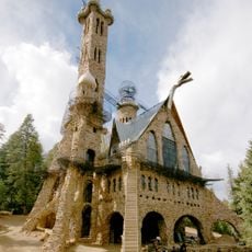
Bishop Castle
United States of America

Bishop Castle

25.8 mi
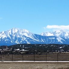
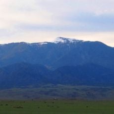
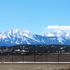
Spanish Peaks
United States of America

Spanish Peaks

27.3 mi
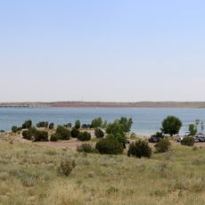
Lake Pueblo State Park
United States of America

Lake Pueblo State Park

35 mi
Spanish Peaks Wilderness
United States of America

Spanish Peaks Wilderness

27 mi
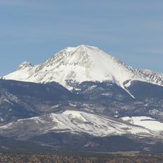
West Spanish Peak
United States of America

West Spanish Peak

27.7 mi
North La Veta Pass
United States of America

North La Veta Pass

22.1 mi
Lathrop State Park
United States of America

Lathrop State Park

10.5 mi
Greenhorn Mountain
United States of America

Greenhorn Mountain

13.5 mi
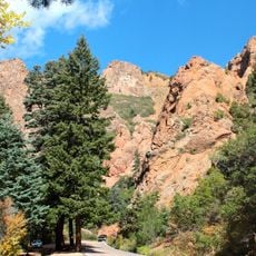
North Cheyenne Cañon Park
United States of America

North Cheyenne Cañon Park

3.5 mi
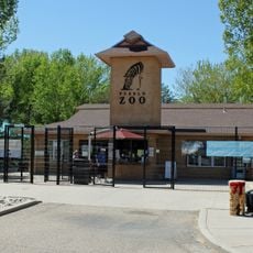
Pueblo Zoo
United States of America

Pueblo Zoo

36.3 mi
Mount Lindsey
United States of America

Mount Lindsey

35.8 mi
East Spanish Peak
United States of America

East Spanish Peak

25.4 mi
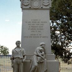
Ludlow Tent Colony Site
United States of America

Ludlow Tent Colony Site

31.6 mi
Mount Mestas
United States of America

Mount Mestas

21.2 mi
Minnequa Steel Works Office Building and Dispensary, Colorado Fuel and Iron Company
United States of America

Minnequa Steel Works Office Building and Dispensary, Colorado Fuel and Iron Company

35.5 mi
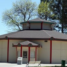
Pueblo City Park Carousel
United States of America

Pueblo City Park Carousel

36.4 mi
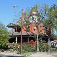
Orman-Adams House
United States of America

Orman-Adams House

36.3 mi
United States of America

Iron Mountain

24.7 mi
Steelworks Museum of Industry and Culture
United States of America

Steelworks Museum of Industry and Culture

35.5 mi
Montoya Ranch
United States of America

Montoya Ranch

13.4 mi
Francisco Plaza
United States of America

Francisco Plaza

19.8 mi
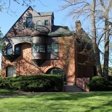
Charles H. Stickney House
United States of America

Charles H. Stickney House

36.3 mi
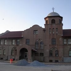
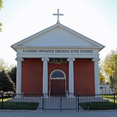
St. John's Greek Orthodox Church
United States of America

St. John's Greek Orthodox Church

36.1 mi
St. Charles Bridge
United States of America

St. Charles Bridge

34.5 mi
Butler House
United States of America

Butler House

27 mi
Galligan House
United States of America

Galligan House

36.4 mi
Goodnight Barn
United States of America

Goodnight Barn

35.6 mi
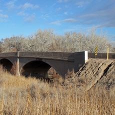
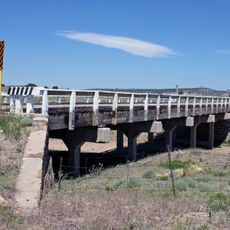
Maitland Arroyo Bridge
United States of America

Maitland Arroyo Bridge

6.1 mi
Show the full map
Reviews
Share your experience

No review yet

Discussions
Start a discussion...

No discussion yet

« Huerfano Butte - Volcanic summit in Huerfano County, Colorado, USA » is provided by Around Us (aroundus.com). Images and texts are derived from Wikimedia project under a Creative Commons license. You are allowed to copy, distribute, and modify copies of this page, under the conditions set by the license, as long as this note is clearly visible.

Discover hidden gems everywhere you go!

From secret cafés to breathtaking viewpoints, skip the crowded tourist spots and find places that match your style. Our app makes it easy with voice search, smart filtering, route optimization, and insider tips from travelers worldwide. Download now for the complete mobile experience.
Around Us App Screenshot

A unique approach to discovering new places

Le Figaro

All the places worth exploring

France Info

A tailor-made excursion in just a few clicks

20 Minutes

Around Us
Travel Guide & Maps
Download

Send to your phone

QR Code
1

Open the camera app on your mobile.

2

Point at the QR code with your camera. A notification will appear.

3

Tap the notification to open the link.