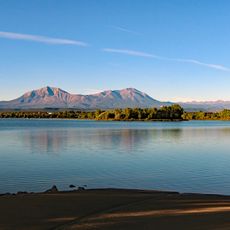
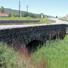
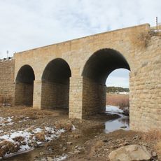
Spanish Peaks, National Natural Landmark in southern Colorado, US
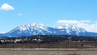
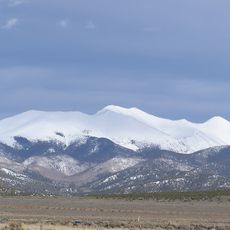
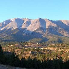
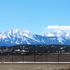
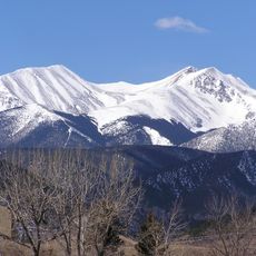
Spanish Peaks are two mountains rising from the landscape of southern Colorado. The western summit reaches approximately 13,600 feet (4,150 m) elevation, while the eastern peak stands near 12,700 feet (3,865 m), forming a distinctive double formation.
Native peoples including the Ute and Apache used these peaks as navigation markers and territorial boundaries for thousands of years. The formations themselves took shape millions of years ago through volcanic activity that fundamentally shaped this region.
Indigenous peoples in the region called these mountains the breasts of the earth, expressing their deep spiritual connection to the landscape. This name remains part of local oral traditions and shapes how the area is understood today.
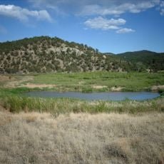
A network of hiking trails winds through the wilderness area with options for different skill levels and mountain access. Weather can change quickly in the peaks, so early starts and proper preparation are important for any visit.
More than 500 volcanic rock dikes radiate from the peaks like geometric lines cutting through the surrounding landscape. These distinctive structures formed when molten rock filled cracks in the earth's crust and then hardened.
The community of curious travelers
AroundUs brings together thousands of curated places, local tips, and hidden gems, enriched daily by 60,000 contributors worldwide.