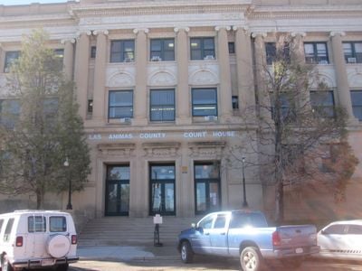
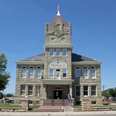
Las Animas County, Administrative division in southeastern Colorado, US.
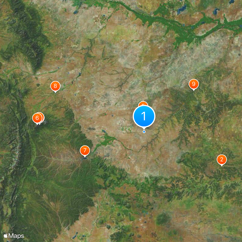
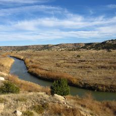
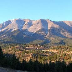
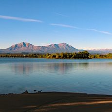
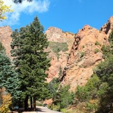
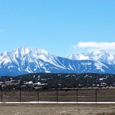
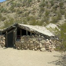
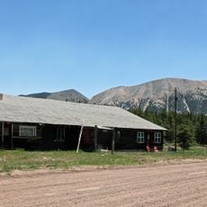
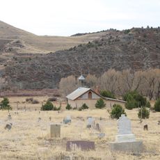
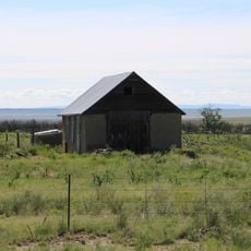
Las Animas County is a large administrative area in southeastern Colorado with mountains, grasslands, and river valleys throughout its terrain. The landscape shifts between elevated highlands and open plains carved by waterways.
The area was established in 1866 and took its name from the Purgatoire River, which Spanish settlers named after purgatory. This early Spanish presence shaped the region's development for generations.
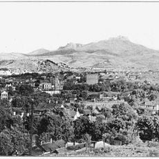
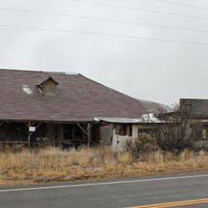
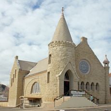
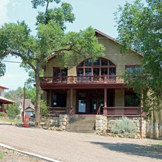
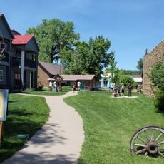
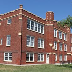
The region carries strong Hispanic roots visible in local celebrations, place names, and daily life throughout the communities. These traditions shape how people gather and interact in the towns and villages.
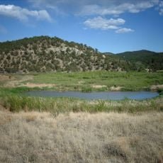
The region features extensive forests, meadows, and protected natural areas suitable for outdoor activities. Plan enough time to explore the different landscapes, especially if you want to hike or camp.
The area encompasses parts of Comanche National Grassland and San Isabel National Forest, two contrasting natural spaces nearby. The recently opened Fishers Peak State Park adds more options for exploring these landscapes.
Location: Colorado
Inception: 1866
Capital city: Trinidad
Shares border with: Huerfano County, Otero County, Bent County, Baca County, Union County, Colfax County, Costilla County, Pueblo County
Website: http://lasanimascounty.org
GPS coordinates: 37.32000,-104.04000
Latest update: December 20, 2025 11:46
Black Mesa
67 km
Spanish Peaks
83 km
Spanish Peaks Wilderness
83.4 km
Piñon Canyon Maneuver Site
15.6 km
West Spanish Peak
84.6 km
Trinidad Lake State Park
50.8 km
Lathrop State Park
76.8 km
Purgatoire River track site
51.2 km
Huerfano Butte
84.6 km
North Cheyenne Cañon Park
90 km
Raton Mesa
45.1 km
East Spanish Peak
78.3 kmFishers Peak State Park
44.9 km
Ludlow Tent Colony Site
48.1 km
Trinchera Cave Archeological District
17.3 kmPenitente Canyon
66.9 km
Mount Mestas
102.1 km
Frank G. Bloom House
44.5 km
Trinidad History Museum
44.3 km
Montoya Ranch
102.6 km
Huerfano County Courthouse and Jail
73.7 km
First Baptist Church
44.4 km
Cokedale Historic District
55 km
Francisco Plaza
88.3 km
Huerfano County High School
74.4 km
Our Lady of Guadalupe Church and Medina Cemetery
70.6 km
Earl School
21.1 km
Corazon de Trinidad
44.6 kmVisited this place? Tap the stars to rate it and share your experience / photos with the community! Try now! You can cancel it anytime.
Discover hidden gems everywhere you go!
From secret cafés to breathtaking viewpoints, skip the crowded tourist spots and find places that match your style. Our app makes it easy with voice search, smart filtering, route optimization, and insider tips from travelers worldwide. Download now for the complete mobile experience.
A unique approach to discovering new places❞
— Le Figaro
All the places worth exploring❞
— France Info
A tailor-made excursion in just a few clicks❞
— 20 Minutes