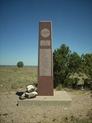
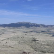
Black Mesa, Summit trail in Cimarron County, Oklahoma, United States.
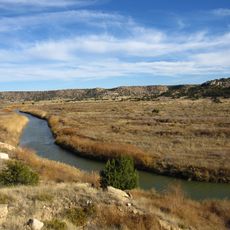
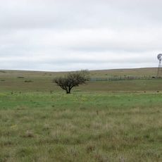
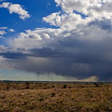
Black Mesa is Oklahoma's highest point located in the state's western panhandle within a nature preserve. The site features shortgrass prairie, rolling foothills, and vegetation including junipers, shrub oaks, and cacti.
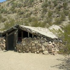
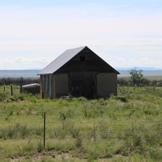
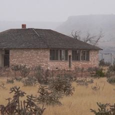
The mesa formed over millions of years as a geological feature and later served as a hideout for outlaws in the late 1800s. These criminal fugitives constructed shelters in the remote terrain before law enforcement expanded into the region.
The preserve displays native high-plains plants adapted to dry conditions, including junipers, shrub oaks, and cacti that have thrived here for generations. Visitors walk through a landscape shaped by these species over centuries.
The hike to the summit is manageable for visitors with moderate fitness and takes several hours round trip. Bring plenty of water and sun protection, as the trail crosses open terrain with little shade.
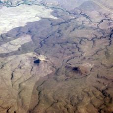
The formation extends across three states, connecting Oklahoma, Colorado, and New Mexico as a single geological structure. This cross-border nature makes it a rare geographic feature that visitors often do not realize spans multiple states.
The community of curious travelers
AroundUs brings together thousands of curated places, local tips, and hidden gems, enriched daily by 60,000 contributors worldwide.