Picture Canyon, Archaeological canyon in Comanche National Grassland, Colorado, US
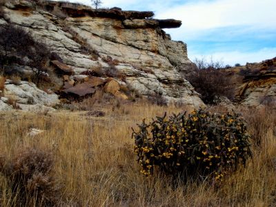
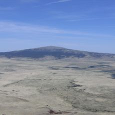
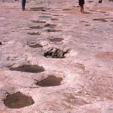
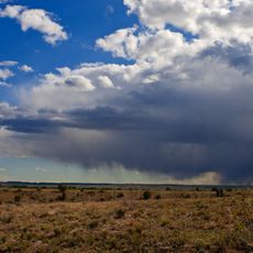
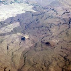
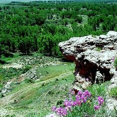
Picture Canyon is a gorge in the Comanche National Grassland featuring exposed rock formations, natural springs, and layered geological structures across southeastern Colorado. The landscape includes a system of trails that pass through the natural formations and alongside water features within the valley.
Archaeological evidence shows people lived in this area for about 12,000 years, from early hunters through later Plains Woodland communities. This extended occupation history is visible in the marks and remnants left by these different groups throughout the canyon.
The canyon walls display petroglyphs and pictographs created by Plains Indians, showing human figures, animals, and markers tied to seasonal cycles. These artworks offer insight into how the people who lived here for thousands of years understood their world and expressed their beliefs.
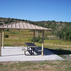
Visitors can explore this canyon through a trail system with several routes available and parking areas near the trailhead for easy access. Primitive camping options exist near the starting point, and spring and fall offer the most comfortable conditions for walking through the area.
Crack Cave within this canyon receives direct sunlight illumination during spring and fall equinoxes, lighting up ancient markings on the cave walls. This natural timing reveals how the people who once lived here tracked the movements of the sun and seasons.
The community of curious travelers
AroundUs brings together thousands of curated places, local tips, and hidden gems, enriched daily by 60,000 contributors worldwide.