Chest opened
+${chestReward.xp} XP
Explorer
NOUVEAU ×${chestReward.collectible.quantity}
tapez pour fermer

See the monuments around you in AR Open chests in the app

Around Us is built for your phone — point your camera at the streets and discover the monuments and places around you in augmented reality. Around Us is built for your phone — chests unlock when you walk, explore and capture nearby places.

Enable Location

We need your location to show you interesting places around you

Discover nearby places

Find interesting locations and hidden gems around you

Precise directions

Get accurate directions and distances to places

Your location is never shared with other users. It's only used when you tap the location button.

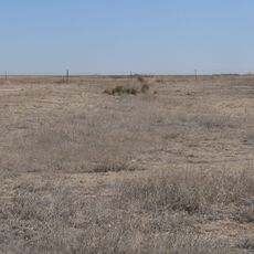
Point of Rocks

Log in to your account

Start exploring — it's free

Trusted by 85,924 travelers worldwide

Continue with Google
Continue with Apple
or

We will send you a code to connect

By continuing, you accept our Terms and Conditions and our Privacy Policy

Check your inbox

We've sent a pincode in your inbox. Please enter the code below.

Point of Rocks
Discussion Reviews 1 Photos
1.5k Popularity

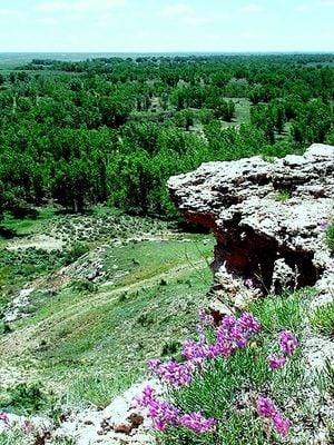
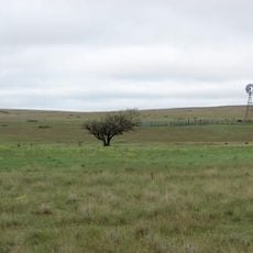
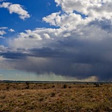
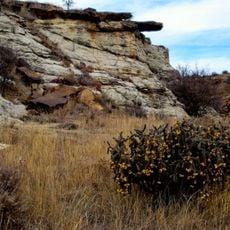
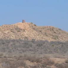
Point of Rocks, Natural landmark along Santa Fe Trail in Morton County, Kansas

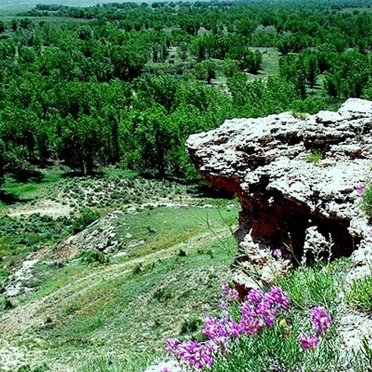
Point of Rocks is a natural landmark along the Santa Fe Trail in Morton County, Kansas. The cliff face rises 275 feet (84 m) above the surrounding terrain and overlooks the north bank of the Cimarron River.

The site served as a critical navigation point for travelers on the Cimarron Route between 1821 and 1870. This landmark guided wagons and riders to the Middle Spring water source, an essential stop on their journey.

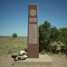
A monument placed by the Daughters of the American Revolution in 1914 marks the site's importance in the story of westward expansion. Visitors can see this memorial today and understand how the landmark guided people moving west.

Visitors can view the rocks and landscape from an overlook area with interpretative displays about the site. The 467-acre historic district is located about 7 miles north of Elkhart and is easily accessible by vehicle.

The Point of Rocks-Middle Spring Historic District preserves segments of the original Santa Fe Trail where visitors can see wheel ruts worn deep into the earth by hundreds of wagons. These grooves remain as physical evidence of decades of daily travel along this route.

The community of curious travelers

AroundUs brings together thousands of curated places, local tips, and hidden gems, enriched daily by 60,000 contributors worldwide.
Start exploring
Location
Elevation above the sea
1,078 m
GPS coordinates
37.10390,-101.93900
Latest update
September 12, 2026 03:40
Around this place
Black Mesa
United States of America

Black Mesa

77.7 mi
Rita Blanca National Grassland
United States of America

Rita Blanca National Grassland

59.1 mi
Black Mesa State Park
United States of America

Black Mesa State Park

54.7 mi
Picture Canyon
United States of America

Picture Canyon

45.1 mi
Texhomex
United States of America

Texhomex

72.2 mi
8 Mile Corner
United States of America

8 Mile Corner

9.5 mi
Cimarron County Courthouse
United States of America

Cimarron County Courthouse

40.9 mi
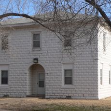
Franklin Hall
United States of America

Franklin Hall

39 mi
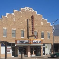
Northrup Theater
United States of America

Northrup Theater

61.7 mi
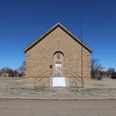
Springfield Schoolhouse
United States of America

Springfield Schoolhouse

42.9 mi
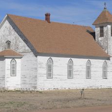
Stonington First Methodist-Episcopal Church
United States of America

Stonington First Methodist-Episcopal Church

19 mi
Texas County Courthouse
United States of America

Texas County Courthouse

38.6 mi
Prowers County Courthouse
United States of America

Prowers County Courthouse

77.5 mi
Dorothy's House and Land of Oz
United States of America

Dorothy's House and Land of Oz

56.9 mi
Indian Mound
United States of America

Indian Mound

63.9 mi
Deerfield Texaco Service Station
United States of America

Deerfield Texaco Service Station

75 mi
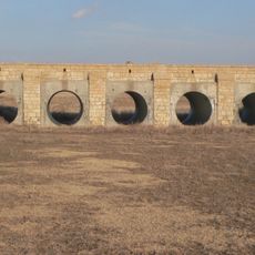
Morton County WPA Bridge
United States of America

Morton County WPA Bridge

15 mi
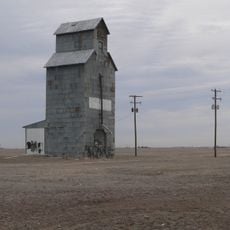
Hooker Woodframe Grain Elevator
United States of America

Hooker Woodframe Grain Elevator

43.4 mi
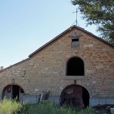
Holly SS Ranch Barn
United States of America

Holly SS Ranch Barn

66.1 mi
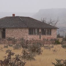
Goodson Memorial School
United States of America

Goodson Memorial School

64.9 mi
Douglas Crossing Bridge
United States of America

Douglas Crossing Bridge

50.9 mi
Granada Bridge
United States of America

Granada Bridge

71.4 mi
Menno Community Hall
United States of America

Menno Community Hall

52 mi
Grant County Courthouse District
United States of America

Grant County Courthouse District

46 mi
Santa Fe Trail-Kearny County Segment 1
United States of America

Santa Fe Trail-Kearny County Segment 1

73.1 mi
Davies Hotel
United States of America

Davies Hotel

77.8 mi
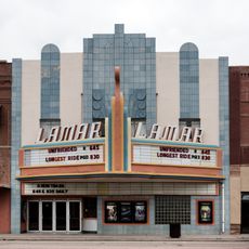
Lamar Theatre
United States of America

Lamar Theatre

77.6 mi
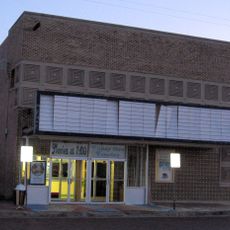
Lyric Cinema
United States of America

Lyric Cinema

74.9 mi
Show the full map
Reviews
Share your experience

No review yet

Discussions
Start a discussion...

No discussion yet

« Point of Rocks - Natural landmark along Santa Fe Trail in Morton County, Kansas » is provided by Around Us (aroundus.com). Images and texts are derived from Wikimedia project under a Creative Commons license. You are allowed to copy, distribute, and modify copies of this page, under the conditions set by the license, as long as this note is clearly visible.

Discover hidden gems everywhere you go!

From secret cafés to breathtaking viewpoints, skip the crowded tourist spots and find places that match your style. Our app makes it easy with voice search, smart filtering, route optimization, and insider tips from travelers worldwide. Download now for the complete mobile experience.
Around Us App Screenshot

A unique approach to discovering new places

Le Figaro

All the places worth exploring

France Info

A tailor-made excursion in just a few clicks

20 Minutes

Around Us
Travel Guide & Maps
Download

Send to your phone

QR Code
1

Open the camera app on your mobile.

2

Point at the QR code with your camera. A notification will appear.

3

Tap the notification to open the link.