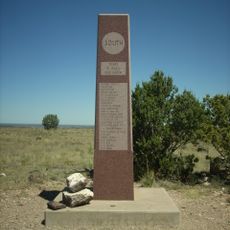
Texhomex, State boundary marker in New Mexico, United States.
Texhomex is a boundary marker located at the precise point where New Mexico, Texas, and Oklahoma meet. The stone sits at a T-intersection in a remote area, marking the exact geographic location of this three-state junction.
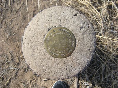
A surveyor named John H Clark established this boundary point during an 1859 survey. His measurements, however, were inaccurate and placed the marker several miles west of where the 103rd meridian was intended to be.
Geographic enthusiasts and boundary hunters regularly travel to this marker to document their visits to all three states simultaneously.
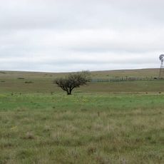
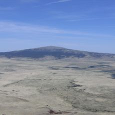
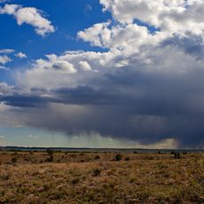
The location is accessible by car via rural back roads but sits far from major highways in a sparsely populated area. Visitors should prepare accordingly and bring plenty of water, as the nearest town is quite distant.
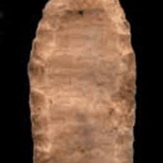
Roughly 100 meters north of the Texhomex marker sits the Cimarron Meridian initial point, another significant survey stone from the same era. This second marker reveals the historical importance of this remote region to early American boundary surveys.
The community of curious travelers
AroundUs brings together thousands of curated places, local tips, and hidden gems, enriched daily by 60,000 contributors worldwide.