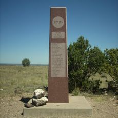
Rabbit Ears, Historic landmark in Union County, New Mexico.
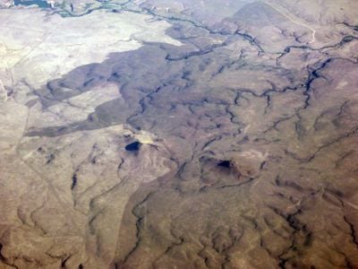
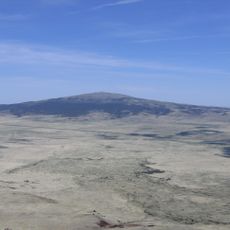
Rabbit Ears are two prominent rock formations in Union County that rise distinctly against the New Mexico landscape near Clayton. The structures form two separate peaks that serve as natural navigational markers in the high plains terrain.
These formations served as crucial navigation points for travelers on the Santa Fe Trail during the 1800s. They guided merchants and settlers across the territory during the period of western expansion.
The formations served as a meeting point where Native American paths, Spanish trade routes, and American settlement journeys intersected across the region. Travelers of different origins navigated by these same landmarks, making it a crossroads of movement and exchange.
The formations can be viewed from State Road 370, located roughly 5 miles north of Clayton. Viewing from the road is accessible, but closer access requires permission from private landowners in the area.
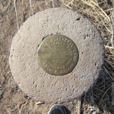
The Mormon Battalion recorded stone ring structures near this site during their 1846 passage through the region. Their documentation provides a rare glimpse into how early expeditions interacted with the landscape.
The community of curious travelers
AroundUs brings together thousands of curated places, local tips, and hidden gems, enriched daily by 60,000 contributors worldwide.