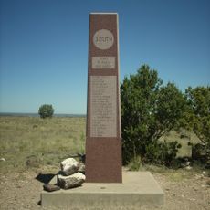
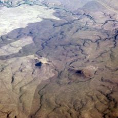
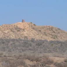
8 Mile Corner, Survey marker sculpture at state borders intersection, Oklahoma, United States
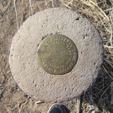
8 Mile Corner is a survey marker located at the exact point where the borders of Kansas, Colorado, and Oklahoma meet. The site sits beneath road level and is protected by a steel cover inscribed with official boundary markers.
The original marker was established in 1903 and served as a reference point for travelers for many years. The current monument was installed in 1990 by the Bureau of Land Management to replace the older marker at this tri-state junction.
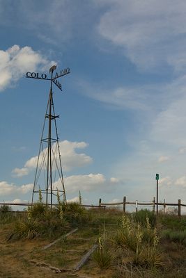
The marker represents the connection between three different state territories, each with its own distinct regional identity and administrative jurisdiction.
The site is difficult to access since it lies beneath the road and is normally covered by a steel plate. Visitors should contact the road departments of the involved states beforehand to arrange access to the marker.
Embedded in concrete beneath the marker is a cadastral survey disk from the Department of the Interior that connects the site to a national network of survey reference points. This underground component plays a role in the Federal Base Network that many visitors never see.
The community of curious travelers
AroundUs brings together thousands of curated places, local tips, and hidden gems, enriched daily by 60,000 contributors worldwide.