Chest opened
+${chestReward.xp} XP
Explorer
NOUVEAU ×${chestReward.collectible.quantity}
tapez pour fermer

See the monuments around you in AR Open chests in the app

Around Us is built for your phone — point your camera at the streets and discover the monuments and places around you in augmented reality. Around Us is built for your phone — chests unlock when you walk, explore and capture nearby places.

•

Enable Location

We need your location to show you interesting places around you

Discover nearby places

Find interesting locations and hidden gems around you

Precise directions

Get accurate directions and distances to places

Your location is never shared with other users. It's only used when you tap the location button.

Red Mountain

Log in to your account

Start exploring — it's free

Trusted by 94,347 travelers worldwide

Continue with Google
Continue with Apple
or

We will send you a code to connect

By continuing, you accept our Terms and Conditions and our Privacy Policy

Check your inbox

We've sent a pincode in your inbox. Please enter the code below.

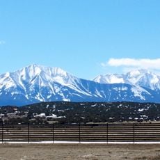
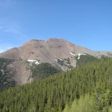
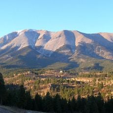
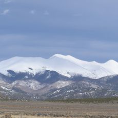
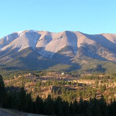
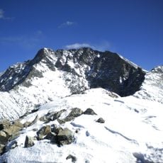
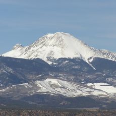
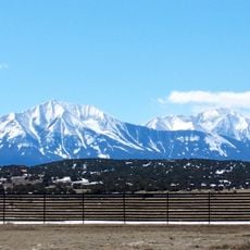
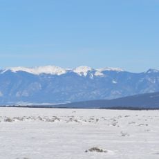
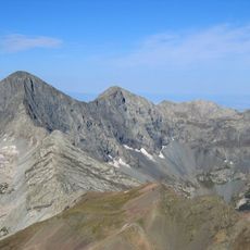
Red Mountain, Mountain summit in Costilla County, Colorado, United States

Red Mountain is a summit of 13,914 ft (4,241 m) in the Culebra Range of south central Colorado, 15 mi (24 km) southeast of San Luis. It lies on private land, and its recorded historical names are Espinazo Rojo and Red Mountain, both from 1972.

Red Mountain lies in the Culebra Range of south central Colorado, about 15 mi (24 km) southeast of San Luis, and reaches 13,914 ft (4,241 m). The name Espinazo Rojo was recorded alongside Red Mountain in 1972. The summit stands on private land, so the mountain has no public climbing history.

The peak lies on private land, so there is no public trail to the summit; the name Espinazo Rojo ("Red Spine") was recorded in 1972 alongside Red Mountain. The summit stands 15 mi (24 km) southeast of San Luis in the Culebra Range.

Red Mountain lies on private land about 15 mi (24 km) southeast of San Luis, so access requires the landowner's permission; there is no public trail to the 13,914 ft (4,241 m) summit. Plan any approach with that permission secured in advance.

The peak lies on private land about 15 miles (24 km) southeast of San Luis, in the Culebra Range rather than the San Juan Mountains. Its recorded historical names are Espinazo Rojo and Red Mountain, both entered in 1972. Reaching the summit requires permission from the landowners.

The community of curious travelers

AroundUs brings together thousands of curated places, local tips, and hidden gems, enriched daily by 94,347 contributors worldwide.

Start exploring
Location
GPS coordinates
37.11224,-105.18112
Latest update
November 4, 2026 02:15
Around this place
Blanca Peak
United States of America

Blanca Peak

36.3 mi
Spanish Peaks
United States of America

Spanish Peaks

21.5 mi
Baldy Mountain
United States of America

Baldy Mountain

33.4 mi
Spanish Peaks Wilderness
United States of America

Spanish Peaks Wilderness

21.8 mi
Culebra Peak
United States of America

Culebra Peak

0.7 mi
West Spanish Peak
United States of America

West Spanish Peak

20.9 mi
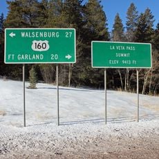
North La Veta Pass
United States of America

North La Veta Pass

34.7 mi
Trinidad Lake State Park
United States of America

Trinidad Lake State Park

33.1 mi
Fort Garland
United States of America

Fort Garland

25.6 mi
Little Bear Peak
United States of America

Little Bear Peak

35.9 mi
Mount Lindsey
United States of America

Mount Lindsey

35.7 mi
East Spanish Peak
United States of America

East Spanish Peak

24.2 mi
Latir Peak Wilderness
United States of America

Latir Peak Wilderness

27.4 mi
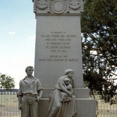
Ludlow Tent Colony Site
United States of America

Ludlow Tent Colony Site

36.5 mi
Penitente Canyon
United States of America

Penitente Canyon

27.8 mi
Mount Mestas
United States of America

Mount Mestas

32.6 mi
United States of America

San Luis Hills

31.2 mi
Cokedale Historic District
United States of America

Cokedale Historic District

31 mi
Francisco Plaza
United States of America

Francisco Plaza

28.9 mi
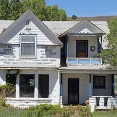
A. A. Salazar House
United States of America

A. A. Salazar House

14.8 mi
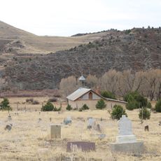
Our Lady of Guadalupe Church and Medina Cemetery
United States of America

Our Lady of Guadalupe Church and Medina Cemetery

21.1 mi
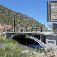
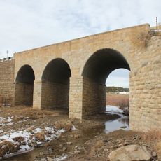
San Luis Bridge
United States of America

San Luis Bridge

14.8 mi
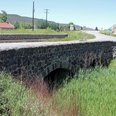
Rito Seco Creek Culvert
United States of America

Rito Seco Creek Culvert

14.8 mi
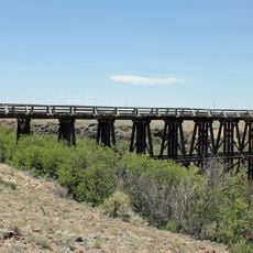
San Luis Southern Railway Trestle
United States of America

San Luis Southern Railway Trestle

27.7 mi
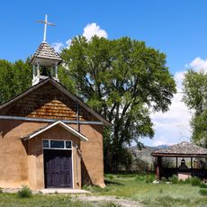
Capilla de San Isidro
United States of America

Capilla de San Isidro

11.1 mi
Bridge over Burro Cañon
United States of America

Bridge over Burro Cañon

24.4 mi
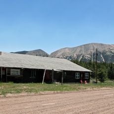
Monument Lake Park Building and Hatchery Complex
United States of America

Monument Lake Park Building and Hatchery Complex

9.8 mi
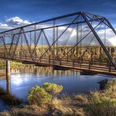
Costilla Crossing Bridge
United States of America

Costilla Crossing Bridge

31.8 mi
Show the full map
Reviews
Share your experience

No review yet

Discussions
Start a discussion...

No discussion yet

« Red Mountain - Mountain summit in Costilla County, Colorado, United States » is provided by Around Us (aroundus.com). Images and texts are derived from Wikimedia project under a Creative Commons license. You are allowed to copy, distribute, and modify copies of this page, under the conditions set by the license, as long as this note is clearly visible.

Discover hidden gems everywhere you go!

From secret cafés to breathtaking viewpoints, skip the crowded tourist spots and find places that match your style. Our app makes it easy with voice search, smart filtering, route optimization, and insider tips from travelers worldwide. Download now for the complete mobile experience.
Around Us App Screenshot
❝

A unique approach to discovering new places❞

— Le Figaro

❝

All the places worth exploring❞

— France Info

❝

A tailor-made excursion in just a few clicks❞

— 20 Minutes

Around Us
Travel Guide & Maps
Download

Send to your phone

QR Code
1

Open the camera app on your mobile.

2

Point at the QR code with your camera. A notification will appear.

3

Tap the notification to open the link.