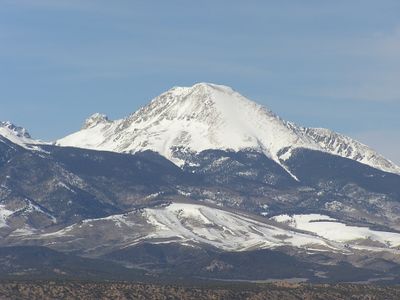
Mount Lindsey, Mountain summit in Costilla County, United States
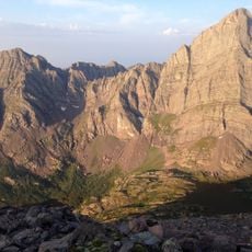
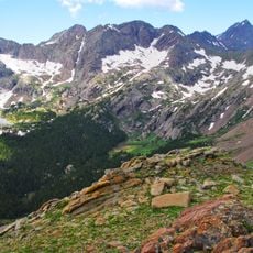
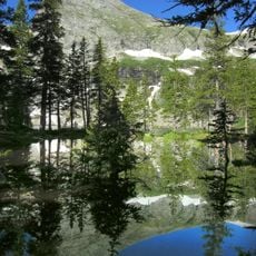
Mount Lindsey is a summit in the Sangre de Cristo Range in Costilla County, Colorado, and belongs to the group of peaks that rise above 14,000 feet (4,267 meters). The north side of the mountain offers several routes, including the Northwest Ridge and the North Face, each with its own character and difficulty.
The mountain was formerly known as Old Baldy Peak and was renamed Mount Lindsey in 1954 to honor Malcolm Lindsey, a longtime leader of the Colorado Mountain Club. His work with the club made him a well-known figure in the state's climbing history.
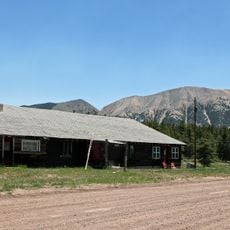
The mountain was closed for four years and reopened in March 2025, which many in the Colorado climbing community had been waiting for. Climbers from across the region now make the trip specifically to experience the routes that were off-limits for so long.
Before heading up, visitors need to obtain a waiver through mountlindseywaiver.com and read the guidelines listed there. Checking current conditions ahead of time and packing gear suited to the chosen route will help make the day go smoothly.
The North Face and the Northwest Ridge sit on the same side of the mountain but feel like entirely different climbs: one has loose, unstable rock while the other offers much more solid ground underfoot. Climbers who have done both routes often say the contrast between them is sharper than expected.
The community of curious travelers
AroundUs brings together thousands of curated places, local tips, and hidden gems, enriched daily by 60,000 contributors worldwide.