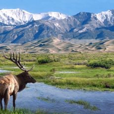
Baca National Wildlife Refuge, National Wildlife Refuge in San Luis Valley, Colorado.
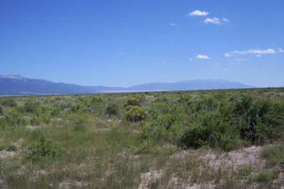
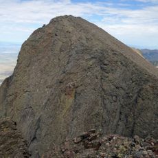
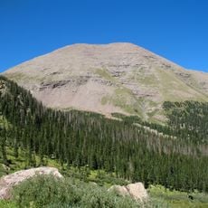
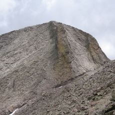
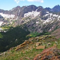
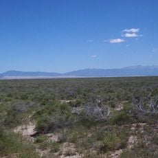
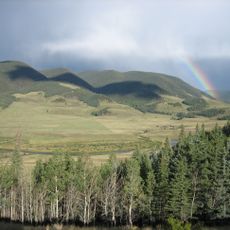
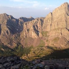
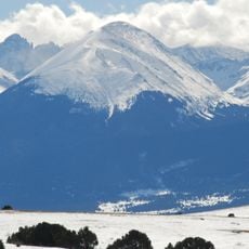
Baca National Wildlife Refuge is a federally protected area in Colorado's San Luis Valley, covering wetlands, grasslands, and shrublands at the foot of the Sangre de Cristo Mountains. The land is managed to support native wildlife, including birds, fish, and large mammals that move through the valley.
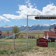
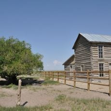
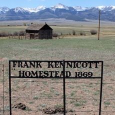
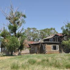
The refuge was created by federal law in 2000 alongside the neighboring Great Sand Dunes National Park, converting land that had been used for ranching for generations. Before that, the area had passed through Spanish, Mexican, and American ownership, each leaving a mark on how the land was used.
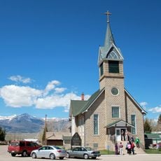
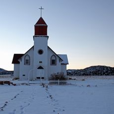
The name Baca comes from a Spanish colonial family that once held a vast land grant across the San Luis Valley. That history still shapes the land today, where old grazing routes and water rights reflect centuries of ranching culture.
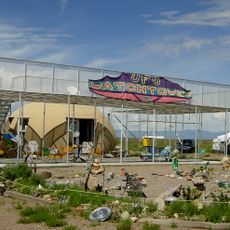
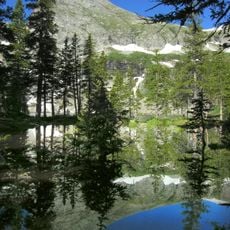
The refuge is open to visitors year-round, but spring and fall offer the most comfortable conditions for walking and watching wildlife. There are no developed trails across the whole area, so wearing sturdy shoes and checking conditions before arriving is a good idea.
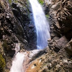
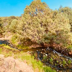
Crestone Creek, which runs through the refuge, shelters four native fish species that are found in very few places outside this valley. Their survival depends on the specific mix of cold mountain water and the flat valley floor, which makes this creek an unusual habitat.
The community of curious travelers
AroundUs brings together thousands of curated places, local tips, and hidden gems, enriched daily by 60,000 contributors worldwide.