Enable Location

We need your location to show you interesting places around you

Discover nearby places

Find interesting locations and hidden gems around you

Precise directions

Get accurate directions and distances to places

Your location is never shared with other users. It's only used when you tap the location button.

Garfield County

Log in to your account

Start exploring — it's free

Trusted by 63,179 travelers worldwide

Continue with Google
Continue with Apple
or

We will send you a code to connect

By continuing, you accept our Terms and Conditions and our Privacy Policy

Check your inbox

We've sent a pincode in your inbox. Please enter the code below.

Discussion Reviews 1 Photos
25.9k Popularity

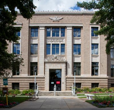
Garfield County, Administrative county in Colorado, United States.

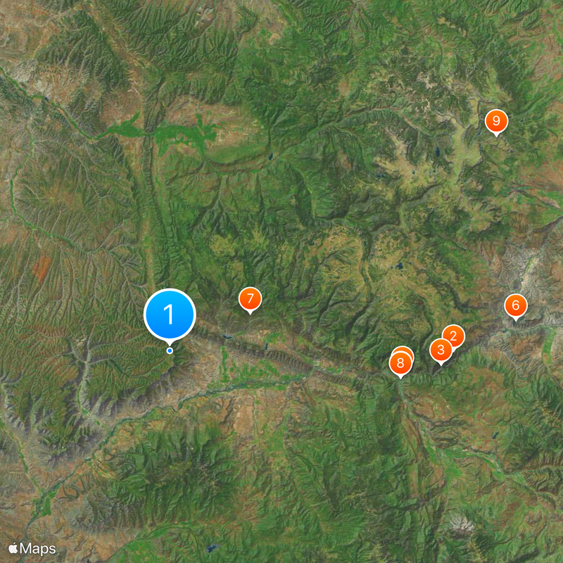
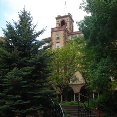
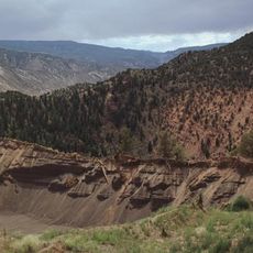
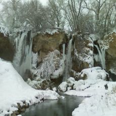
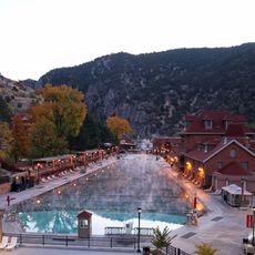
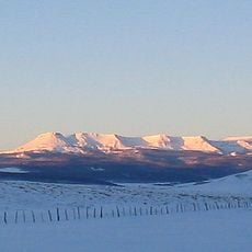
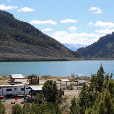
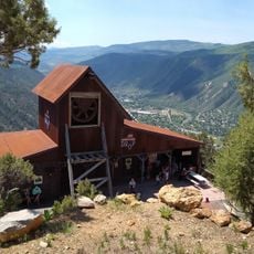
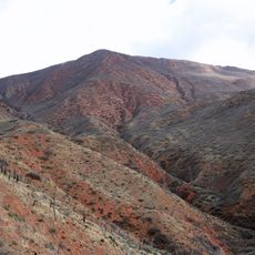
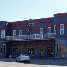
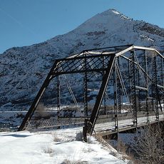
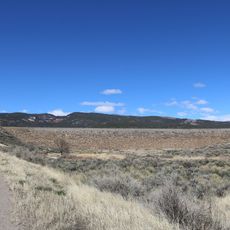
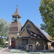
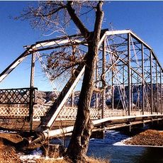
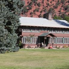
Garfield County is an administrative division in western Colorado with varied terrain including mountains, valleys, and river corridors. Several towns serve as local centers, with Glenwood Springs and Rifle being the largest population hubs.

The county was established in 1883 and named after President James A. Garfield. It grew from mining operations into a diversified regional center supporting various economic activities.

The Garfield County Fair and Rodeo gathers communities each July with agricultural shows and traditional performances. Locals and visitors alike experience the area's ranching heritage through these events.

Interstate 70 runs east to west through the county, connecting the main towns and making travel between areas straightforward. The region is accessible year-round, though spring and fall offer comfortable visiting conditions.

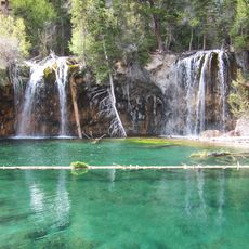
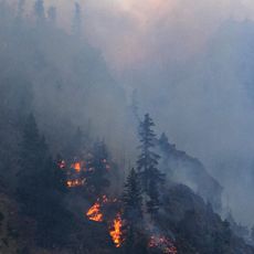
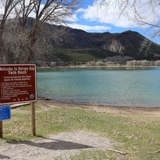
The area contains sections of three national forests: White River, Grand Mesa, and Flat Tops Wilderness. These protected spaces offer extensive opportunities for hiking, camping, and outdoor exploration.

The community of curious travelers

AroundUs brings together thousands of curated places, local tips, and hidden gems, enriched daily by 60,000 contributors worldwide.

Start exploring
Location
Inception
1883
Capital city
Glenwood Springs
Shares border with
Rio Blanco County, Mesa County, Pitkin County, Eagle County, Routt County, Grand County, Uintah County
GPS coordinates
39.60000,-107.90000
Latest update
December 20, 2025 15:53
Around this place
Show the full map
Reviews
Share your experience

No review yet

Discussions
Start a discussion...

No discussion yet

« Garfield County - Administrative county in Colorado, United States » is provided by Around Us (aroundus.com). Images and texts are derived from Wikimedia project under a Creative Commons license. You are allowed to copy, distribute, and modify copies of this page, under the conditions set by the license, as long as this note is clearly visible.

Discover hidden gems everywhere you go!

From secret cafés to breathtaking viewpoints, skip the crowded tourist spots and find places that match your style. Our app makes it easy with voice search, smart filtering, route optimization, and insider tips from travelers worldwide. Download now for the complete mobile experience.

Around Us App Screenshot

A unique approach to discovering new places

Le Figaro

All the places worth exploring

France Info

A tailor-made excursion in just a few clicks

20 Minutes

Around Us
Travel Guide & Maps
Download

Send to your phone

QR Code
1

Open the camera app on your mobile.

2

Point at the QR code with your camera. A notification will appear.

3

Tap the notification to open the link.