Chest opened
+${chestReward.xp} XP
Explorer
NOUVEAU ×${chestReward.collectible.quantity}
tapez pour fermer

See the monuments around you in AR Open chests in the app

Around Us is built for your phone — point your camera at the streets and discover the monuments and places around you in augmented reality. Around Us is built for your phone — chests unlock when you walk, explore and capture nearby places.

•

Enable Location

We need your location to show you interesting places around you

Discover nearby places

Find interesting locations and hidden gems around you

Precise directions

Get accurate directions and distances to places

Your location is never shared with other users. It's only used when you tap the location button.

Lake Avery

Log in to your account

Start exploring — it's free

Trusted by 89,459 travelers worldwide

Continue with Google
Continue with Apple
or

We will send you a code to connect

By continuing, you accept our Terms and Conditions and our Privacy Policy

Check your inbox

We've sent a pincode in your inbox. Please enter the code below.

Discussion Reviews 1 Photos
1.4k Popularity

Lake Avery, reservoir in Colorado, United States

Audio guide · About one minute
Preparing your audio guide… The audio guide could not be loaded, please retry.Sign in to listen to the audio guide

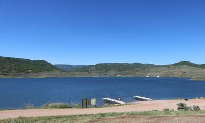
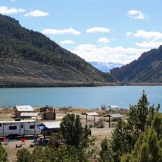
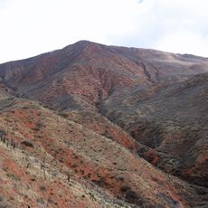
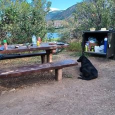
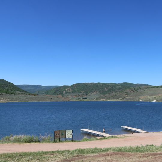
Lake Avery is a reservoir in Rio Blanco County, Colorado, located about 20 miles southeast of Meeker, where Big Beaver Creek flows in and out. The lake has two boat ramps, a large parking and picnic area, and a camping zone with restrooms on the east side.

The lake was built in 1964 as Big Beaver Dam, an earthen structure over 100 feet tall, was completed. In 2018, water was released from the reservoir into the White River to protect fish populations when that river became dangerously warm.

The lake's name comes from a historical figure connected to the region's past. Today, visitors can observe the natural rhythm of local wildlife and experience how people gather here to connect with the landscape.

Visitors can fish, camp, and hike on marked trails along the west side of the lake at no charge. A parking area near the boat ramp and picnic zone provides easy access to all activities.

The lake is also known as Big Beaver Reservoir and sits on land that has shifted over the decades. About 50 years ago, visitors could drive directly to the water's edge and camp, but today they walk about half a mile from the parking area instead.

The community of curious travelers

AroundUs brings together thousands of curated places, local tips, and hidden gems, enriched daily by 60,000 contributors worldwide.
Start exploring
GPS coordinates
39.97481,-107.65001
Latest update
September 13, 2026 17:30
Around this place
Rifle Falls State Park
United States of America

Rifle Falls State Park

21 mi
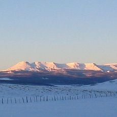
Flat Top Mountain
United States of America

Flat Top Mountain

30.1 mi
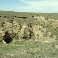
Laramie Formation
United States of America

Laramie Formation

30.7 mi
Rifle Gap State Park
United States of America

Rifle Gap State Park

24.2 mi
Flat Tops Wilderness Area
United States of America

Flat Tops Wilderness Area

21 mi
Harvey Gap State Park
United States of America

Harvey Gap State Park

24.9 mi
Trappers Lake
United States of America

Trappers Lake

22.2 mi
Storm King Mountain
United States of America

Storm King Mountain

29.8 mi
Sweetwater Lake State Park
United States of America

Sweetwater Lake State Park

28.7 mi
South Canon Bridge
United States of America

South Canon Bridge

31.4 mi
Rifle Gap Dam
United States of America

Rifle Gap Dam

24.7 mi
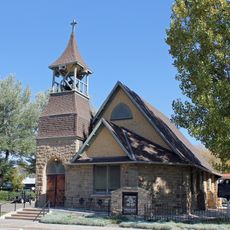
St. James Episcopal Church
United States of America

St. James Episcopal Church

14.5 mi
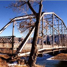
Rifle Bridge
United States of America

Rifle Bridge

31.7 mi
Hay's Ranch Bridge
United States of America

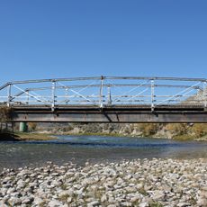
Hay's Ranch Bridge

23.6 mi
Meeker Historic District
United States of America

Meeker Historic District

14.6 mi
Meeker I.O.O.F. Lodge—Valentine Lodge No. 47
United States of America

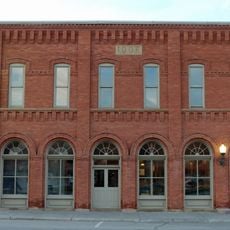
Meeker I.O.O.F. Lodge—Valentine Lodge No. 47

14.5 mi
Windy Point Overlook
United States of America

Windy Point Overlook

30.5 mi
Devils Causeway
United States of America

Devils Causeway

26.7 mi
United States of America

Dunckley Pass Overlook

30.4 mi
United States of America

Cross and Statue at Entrance

31 mi
United States of America

Scenic viewpoint

21.7 mi
United States of America

The Blessed Virgin Mary

31 mi
United States of America

Ripple Creek Overlook

19.8 mi
United States of America

Blair Overlook

16.4 mi
United States of America

Scenic viewpoint

16.5 mi
United States of America

Blair Mountain Overlook

17.3 mi
United States of America

Blair Lake Overlook

17 mi
United States of America

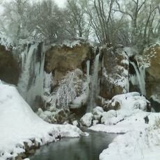
Rifle Falls

20.7 mi
Show the full map
Reviews
Share your experience

No review yet

Discussions
Start a discussion...

No discussion yet

« Lake Avery - reservoir in Colorado, United States » is provided by Around Us (aroundus.com). Images and texts are derived from Wikimedia project under a Creative Commons license. You are allowed to copy, distribute, and modify copies of this page, under the conditions set by the license, as long as this note is clearly visible.

Discover hidden gems everywhere you go!

From secret cafés to breathtaking viewpoints, skip the crowded tourist spots and find places that match your style. Our app makes it easy with voice search, smart filtering, route optimization, and insider tips from travelers worldwide. Download now for the complete mobile experience.

Around Us App Screenshot
❝

A unique approach to discovering new places❞

— Le Figaro

❝

All the places worth exploring❞

— France Info

❝

A tailor-made excursion in just a few clicks❞

— 20 Minutes

Around Us
Travel Guide & Maps
Download

Send to your phone

QR Code
1

Open the camera app on your mobile.

2

Point at the QR code with your camera. A notification will appear.

3

Tap the notification to open the link.