Enable Location

We need your location to show you interesting places around you

Discover nearby places

Find interesting locations and hidden gems around you

Precise directions

Get accurate directions and distances to places

Your location is never shared with other users. It's only used when you tap the location button.

Longs Peak

Log in to your account

Start exploring — it's free

Trusted by 61,639 travelers worldwide

Continue with Google
Continue with Apple
or

We will send you a code to connect

By continuing, you accept our Terms and Conditions and our Privacy Policy

Check your inbox

We've sent a pincode in your inbox. Please enter the code below.

Longs Peak

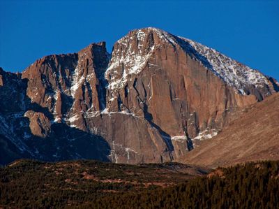
Longs Peak, Summit in Rocky Mountain National Park, United States.

Description

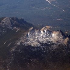
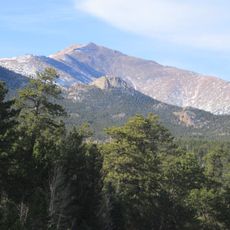
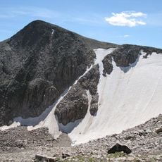
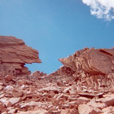
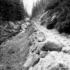
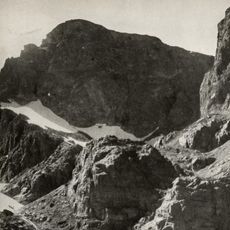
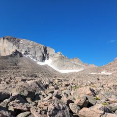
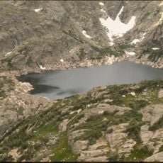
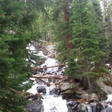
Longs Peak is a summit in Rocky Mountain National Park, Colorado, rising to 4,345 meters (14,259 feet) with steep rock walls and a flat summit plateau. The terrain alternates between smooth granite slabs, narrow rock ridges, and boulder fields that extend for several kilometers to the top.

History

Major Stephen Long led geographical surveys of the Colorado Territory in the 1820s and gave the mountain its name. The first documented ascent occurred in 1868 by a party led by John Wesley Powell.

Culture

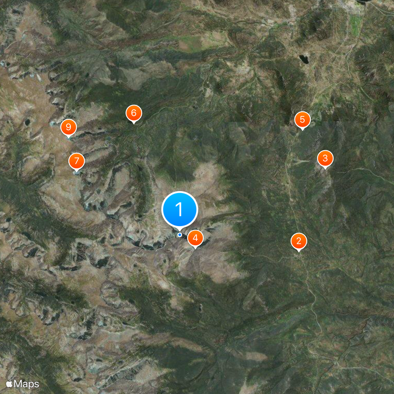
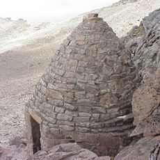
The community of climbers often begins the ascent on the Keyhole Route well before midnight, using cairns and painted bullseyes to navigate in darkness. Many return year after year to reach the summit again, viewing the climb as a personal measure of fitness and endurance.

Practical

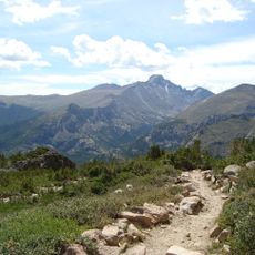
The ascent takes most hikers between 10 and 15 hours and requires sure footing on rock and willingness to navigate exposed sections. Weather shifts regularly occur in the afternoon, so plan to descend by midday.

Did you know?

The summit register sits in a metal box on the flat top and holds entries from thousands of visitors recording their impressions. On clear autumn days, the view from the top reaches across to the plains of Kansas, more than 200 kilometers (125 miles) away.

Location
Elevation above the sea
4,345 m
GPS coordinates
40.25489,-105.61523
Latest update
December 13, 2025 17:50

AroundUs brings together thousands of curated places, local tips, and hidden gems, enriched daily by 60,000 contributors worldwide. Discover all places nearby (Colorado).

Around this place
Show the full map
« Longs Peak - Summit in Rocky Mountain National Park, United States » is provided by Around Us (aroundus.com). Images and texts are derived from Wikimedia project under a Creative Commons license. You are allowed to copy, distribute, and modify copies of this page, under the conditions set by the license, as long as this note is clearly visible.

Discover hidden gems everywhere you go!

From secret cafés to breathtaking viewpoints, skip the crowded tourist spots and find places that match your style. Our app makes it easy with voice search, smart filtering, route optimization, and insider tips from travelers worldwide. Download now for the complete mobile experience.

Around Us App Screenshot

A unique approach to discovering new places

Le Figaro

All the places worth exploring

France Info

A tailor-made excursion in just a few clicks

20 Minutes

Around Us
Travel Guide & Maps
Download

Send to your phone

QR Code
1

Open the camera app on your mobile.

2

Point at the QR code with your camera. A notification will appear.

3

Tap the notification to open the link.