Flatirons, Rock formations near Boulder, Boulder County, Colorado, United States
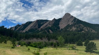
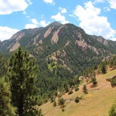
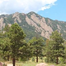
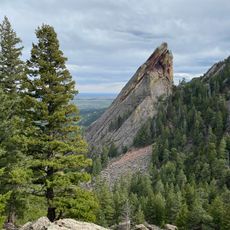
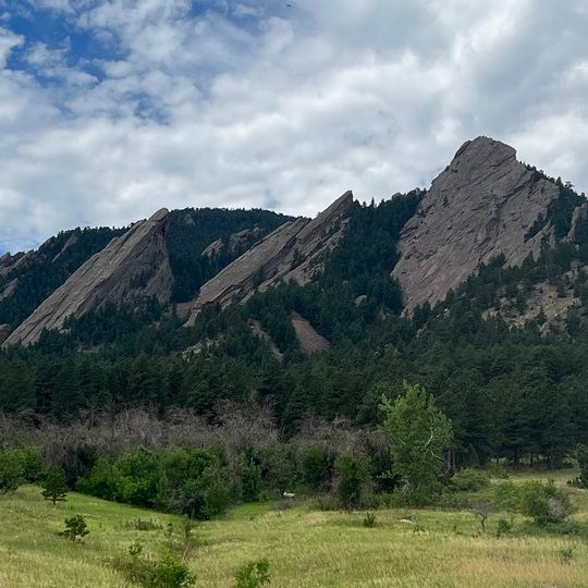
The Flatirons are five numbered slabs of conglomeratic sandstone of the Fountain Formation on the east slope of Green Mountain, rising from the foothills above Boulder. The tilted sheets slope from lower left to upper right, with snow filling ledges and crevices in pale bands against the reddish-brown stone. The largest exposed slab on the right forms a broad triangular face with a sharp upper point, and a band of snow-covered conifers runs along the base.
These rock formations developed roughly 300 million years ago from layers of sedimentary material that accumulated on an ancient seabed. When the Rocky Mountains formed, these layers were tilted at a steep angle, creating the angled slabs we see today.
The Flatirons were called the "Chautauqua Slabs" around 1900 and "The Crags" around 1906. Settlers gave the current name because the tilted slabs resemble old-fashioned flat clothes irons. Boulder uses the formations in city, University of Colorado and business logos, and the tech sector calls the city the "Silicon Flatirons."
Multiple hiking trails of different difficulty levels start from the Chautauqua Trailhead, offering access to various vantage points of these rock formations. Bring plenty of water and wear sturdy footwear, as the trails can be rocky and slippery when conditions are wet.
The white "CU" letters on the Third Flatiron were 50 feet (15 m) tall. CU students Dale Johnson and Robert Rowlands climbed the slab one night in November 1949 to paint the original "C"; a "U" was added in the 1950s. Boulder painted over the initials in 1980, and they remain faintly visible under the reddish paint.
The community of curious travelers
AroundUs brings together thousands of curated places, local tips, and hidden gems, enriched daily by 94,258 contributors worldwide.