Enable Location

We need your location to show you interesting places around you

Discover nearby places

Find interesting locations and hidden gems around you

Precise directions

Get accurate directions and distances to places

Your location is never shared with other users. It's only used when you tap the location button.

Washington County

Log in to your account

Start exploring — it's free

Trusted by 61,787 travelers worldwide

Continue with Google
Continue with Apple
or

We will send you a code to connect

By continuing, you accept our Terms and Conditions and our Privacy Policy

Check your inbox

We've sent a pincode in your inbox. Please enter the code below.

Washington County, Administrative division in northeastern Colorado, US

Description

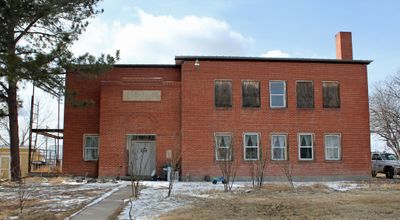
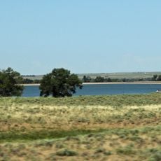
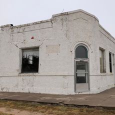
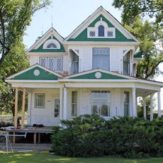
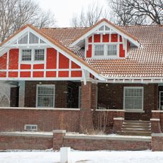
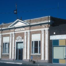
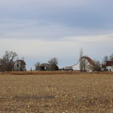
Washington County is an administrative division in northeastern Colorado that spans across high plains landscape with agricultural lands and small communities scattered throughout. The territory is connected by numerous rural roads that link farms and ranches together.

History

The county was established in 1887 from portions of Weld County and named after the nation's first president, George Washington. This founding period shaped the region's agricultural development.

Culture

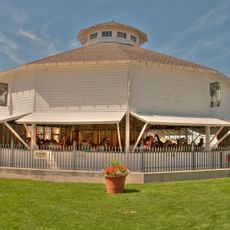
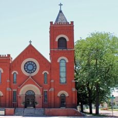
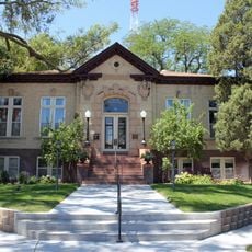
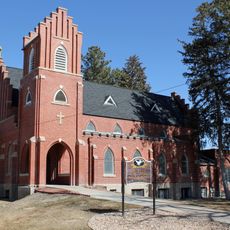
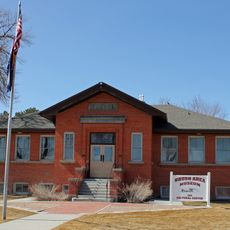
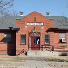
Local communities maintain strong agricultural traditions through county fairs and livestock shows that bring residents together across the region.

Practical

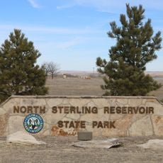
Visitors will find a rural setting throughout this territory and should expect longer distances between communities. Having a reliable map or navigation tool makes it easier to reach various farms and small towns across the area.

Did you know?

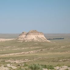
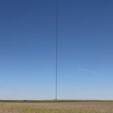
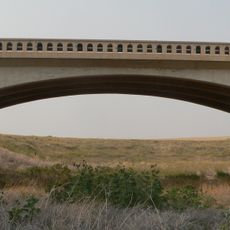
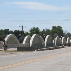
The territory contains an extensive network of rural roads that spans varying elevations and offers wide views across flat landscapes. This remote location gives it a timeless quality that many travelers find unexpected.

GPS coordinates
39.90170,-103.15217
Latest update
December 7, 2025 20:24

AroundUs brings together thousands of curated places, local tips, and hidden gems, enriched daily by 60,000 contributors worldwide. Discover all places nearby (Washington County).

Around this place
Colfax Avenue
United States of America

Colfax Avenue

101.8 km
Pawnee Buttes
United States of America

Pawnee Buttes

123.8 km
North Sterling State Park
United States of America

North Sterling State Park

99.3 km
Hoyt Radio Tower
United States of America

Hoyt Radio Tower

70 km
Elitch Gardens Carousel
United States of America

Elitch Gardens Carousel

100.3 km
Prewitt Reservoir
United States of America

Prewitt Reservoir

60.7 km
Comanche Crossing of the Kansas Pacific Railroad
United States of America

Comanche Crossing of the Kansas Pacific Railroad

100.5 km
St. Anthony's Roman Catholic Church
United States of America

St. Anthony's Roman Catholic Church

80.2 km
Farmers State Bank of Cope
United States of America

Farmers State Bank of Cope

37 km
Sterling Public Library
United States of America

Sterling Public Library

80.5 km
All Saints Church of Eben Ezer
United States of America

All Saints Church of Eben Ezer

57.4 km
Cliff Theater
United States of America

Cliff Theater

81.7 km
Fort Morgan State Armory
United States of America

Fort Morgan State Armory

67.6 km
Phillips County Courthouse
United States of America

Phillips County Courthouse

104.9 km
West Plum Bush Creek Bridge
United States of America

West Plum Bush Creek Bridge

43.2 km
Plum Bush Creek Bridge
United States of America

Plum Bush Creek Bridge

38.2 km
Rock Island Snow Plow No. 95580
United States of America

Rock Island Snow Plow No. 95580

84.8 km
First United Presbyterian Church
United States of America

First United Presbyterian Church

80.5 km
German Evangelical Immanuel Congregational Church
United States of America

German Evangelical Immanuel Congregational Church

56.4 km
Conrad Luft Sr. House
United States of America

Conrad Luft Sr. House

80.8 km
W. E. Heginbotham House
United States of America

W. E. Heginbotham House

104.5 km
First National Bank of Haxtun
United States of America

First National Bank of Haxtun

93.6 km
Logan County Courthouse
United States of America

Logan County Courthouse

80.5 km
Knearl School
United States of America

Knearl School

55.8 km
Downtown Sterling Historic District
United States of America

Downtown Sterling Historic District

80.5 km
Lincoln School
United States of America

Lincoln School

68 km
Millage Farm Rural Historic District
United States of America

Millage Farm Rural Historic District

102.3 km
Rainbow Arch Bridge
United States of America

Rainbow Arch Bridge

68.8 km
Show the full map
« Washington County - Administrative division in northeastern Colorado, US » is provided by Around Us (aroundus.com). Images and texts are derived from Wikimedia project under a Creative Commons license. You are allowed to copy, distribute, and modify copies of this page, under the conditions set by the license, as long as this note is clearly visible.

Discover hidden gems everywhere you go!

From secret cafés to breathtaking viewpoints, skip the crowded tourist spots and find places that match your style. Our app makes it easy with voice search, smart filtering, route optimization, and insider tips from travelers worldwide. Download now for the complete mobile experience.

Around Us App Screenshot

A unique approach to discovering new places

Le Figaro

All the places worth exploring

France Info

A tailor-made excursion in just a few clicks

20 Minutes

Around Us
Travel Guide & Maps
Download

Send to your phone

QR Code
1

Open the camera app on your mobile.

2

Point at the QR code with your camera. A notification will appear.

3

Tap the notification to open the link.