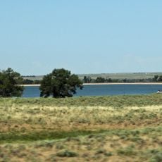
Pawnee Buttes, Geological formations in Weld County, Colorado.
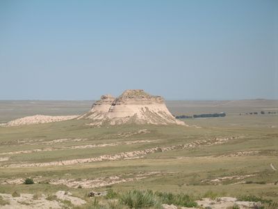
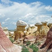
Pawnee Buttes are two sandstone formations that rise about 300 feet (90 m) above the surrounding grasslands of northeastern Colorado. The structures show distinct layers of sedimentary rock stacked on top of each other.
These formations took shape millions of years ago when sediments were deposited in a shallow inland sea. Over time, erosion wore away the softer rock and left behind the harder layers that form the visible buttes today.
These formations served Native American peoples as natural landmarks across the open plains for centuries. The name reflects the Pawnee tribes who traveled through this landscape.
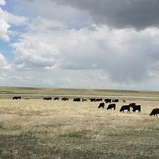
The main way to see these formations is via the Pawnee Buttes Trail, which crosses open grassland without much shade. Bring plenty of water since there are no facilities, shops, or rest areas along the path.
The two buttes stand so distinctly above the flat surroundings that they may be visible from space on clear satellite images. This prominence likely made them invaluable as navigation markers for early travelers crossing the plains.
The community of curious travelers
AroundUs brings together thousands of curated places, local tips, and hidden gems, enriched daily by 60,000 contributors worldwide.