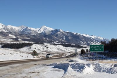
Saguache County, County administrative division in Colorado, US
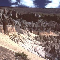
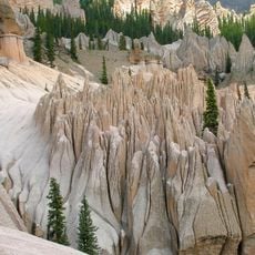
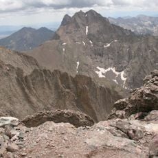
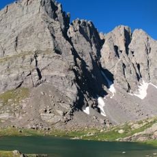
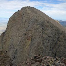
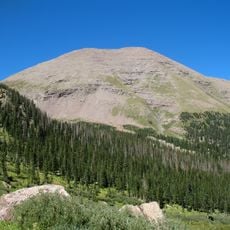
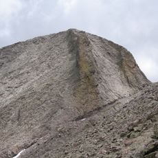
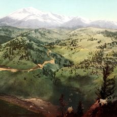
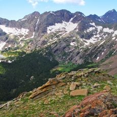
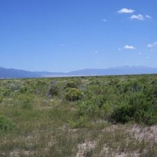
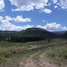
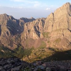
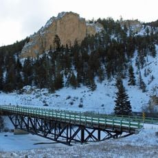
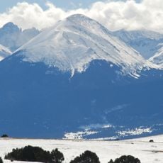
Saguache County is an administrative division in Colorado located between the Sangre de Cristo Range and San Juan Mountains, encompassing diverse terrain. The region features plateaus, valleys, and mountain slopes that draw people seeking outdoor experiences.
The county was established on December 29, 1866, from the northern portion of Costilla County and gained additional territory from Lake County in 1872. This formation was part of Colorado's administrative reorganization during the late 1800s.
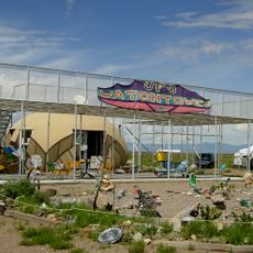
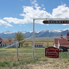
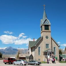
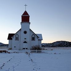
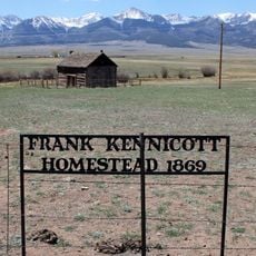
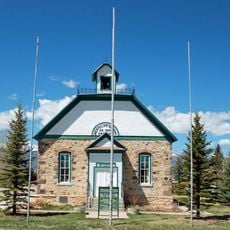
The county is home to several sites listed in the National Register of Historic Places, reflecting the community's connection to its past. These locations show how people have built and lived in this region over time.
You can explore the area by traveling along U.S. Highway 285, State Highway 17, State Highway 112, and State Highway 114, which connect different communities. These roads provide access to outdoor areas and local attractions throughout the region.
The territory includes sections of Great Sand Dunes National Park, Gunnison National Forest, Rio Grande National Forest, and the Continental Divide Trail. This combination creates a landscape where desert-like dunes and dense mountain forests exist side by side.
Location: Colorado
Inception: 1866
Capital city: Saguache
Shares border with: Chaffee County, Alamosa County, Mineral County, Rio Grande County, Hinsdale County, Gunnison County, Fremont County, Custer County, Huerfano County
Website: http://saguachecounty.net
GPS coordinates: 38.08000,-106.30000
Latest update: December 7, 2025 10:04
La Garita Caldera
66.3 km
Fish Canyon Tuff
66.3 km
Wheeler Geologic Area
47.7 km
Crestone Peak
63.9 km
Crestone Needle
64.7 km
UFO Watchtower
48.7 km
Challenger Point
61.8 km
Humboldt Peak
66.3 km
Kit Carson Peak
62.2 km
Mount Ouray
38.7 km
Sangre de Cristo Wilderness
61.7 km
Baca National Wildlife Refuge
49.9 km
La Garita Wilderness
51.9 km
Bushnell Peak
46.2 km
Beckwith Ranch
69.2 km
Hope Lutheran Church
73.2 km
Broken Hand Peak
65.8 km
Capilla de San Juan Bautista
26.2 km
Sevenmile Bridge
67.8 km
Colony Baldy
65.5 km
First Baptist Church of Moffat
35.8 km
Kennicott Cabin
70.1 km
Westcliff School
73.3 km
Upper Sand Creek Lake
68.4 km
Big Spring Creek
68.8 km
Lower Sand Creek Lake
69.4 km
Valley View Hot Springs
44.3 km
Kid Gulch
69.7 kmReviews
Visited this place? Tap the stars to rate it and share your experience / photos with the community! Try now! You can cancel it anytime.
Discover hidden gems everywhere you go!
From secret cafés to breathtaking viewpoints, skip the crowded tourist spots and find places that match your style. Our app makes it easy with voice search, smart filtering, route optimization, and insider tips from travelers worldwide. Download now for the complete mobile experience.
A unique approach to discovering new places❞
— Le Figaro
All the places worth exploring❞
— France Info
A tailor-made excursion in just a few clicks❞
— 20 Minutes