Enable Location

We need your location to show you interesting places around you

Discover nearby places

Find interesting locations and hidden gems around you

Precise directions

Get accurate directions and distances to places

Your location is never shared with other users. It's only used when you tap the location button.

La Garita Caldera

Log in to your account

Start exploring — it's free

Trusted by 63,120 travelers worldwide

Continue with Google
Continue with Apple
or

We will send you a code to connect

By continuing, you accept our Terms and Conditions and our Privacy Policy

Check your inbox

We've sent a pincode in your inbox. Please enter the code below.

La Garita Caldera
Discussion Reviews 1 Photos
84.4k Popularity

La Garita Caldera, Supervolcano caldera in Mineral County, Colorado, US.

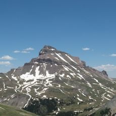
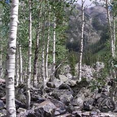
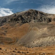
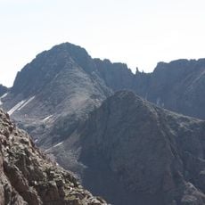
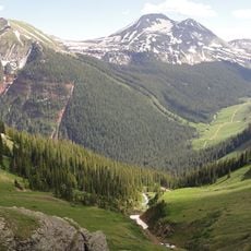
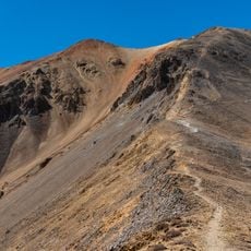
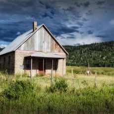
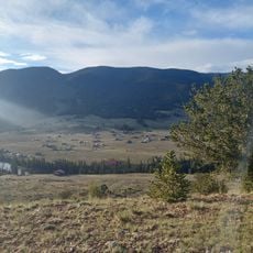
La Garita Caldera is a supervolcano depression in southwestern Colorado that extends across much of Mineral County. The area today shows rounded hills, open valleys, and rock walls shaped by millions of years of erosion.

The volcano erupted around 28 million years ago in a massive explosion that spread a thick layer of volcanic deposits across what is now the southwestern United States. Geologists recognized the true extent of this structure only in the second half of the 20th century through new mapping techniques.

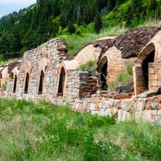
Native American tribes utilized the surrounding lands for hunting activities before European settlement, leaving artifacts throughout the volcanic region.

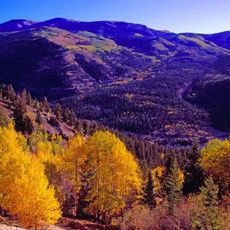
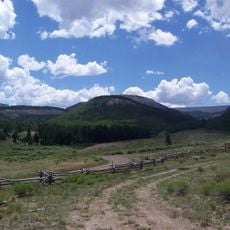
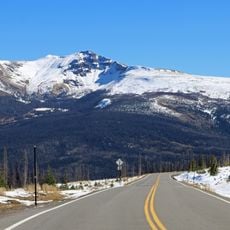
The area is most accessible from late spring to early autumn when roads at higher elevations are clear of snow. Local visitor centers nearby offer maps and orientation for hikers exploring the terrain.

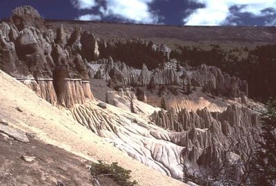
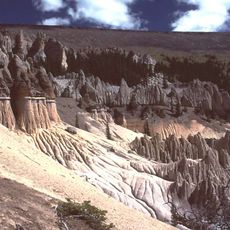
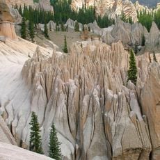
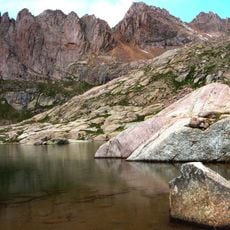
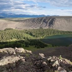
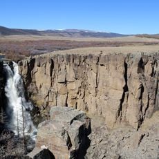
The eruption ejected material that can now be seen in places like the Wheeler Geologic Area, where wind and weather carved bizarre towers from hardened ash. These formations look like an abandoned castle made of pale, brittle stone.

The community of curious travelers

AroundUs brings together thousands of curated places, local tips, and hidden gems, enriched daily by 60,000 contributors worldwide.

Start exploring
Location
GPS coordinates
37.75639,-106.93417
Latest update
December 13, 2025 16:15
Reviews
Share your experience

No review yet

Discussions
Start a discussion...

No discussion yet

« La Garita Caldera - Supervolcano caldera in Mineral County, Colorado, US » is provided by Around Us (aroundus.com). Images and texts are derived from Wikimedia project under a Creative Commons license. You are allowed to copy, distribute, and modify copies of this page, under the conditions set by the license, as long as this note is clearly visible.

Discover hidden gems everywhere you go!

From secret cafés to breathtaking viewpoints, skip the crowded tourist spots and find places that match your style. Our app makes it easy with voice search, smart filtering, route optimization, and insider tips from travelers worldwide. Download now for the complete mobile experience.

Around Us App Screenshot

A unique approach to discovering new places

Le Figaro

All the places worth exploring

France Info

A tailor-made excursion in just a few clicks

20 Minutes

Around Us
Travel Guide & Maps
Download

Send to your phone

QR Code
1

Open the camera app on your mobile.

2

Point at the QR code with your camera. A notification will appear.

3

Tap the notification to open the link.