Powderhorn Wilderness, Protected wilderness area in Gunnison and Hinsdale Counties, Colorado, US.
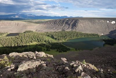
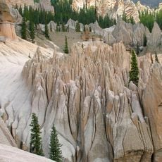
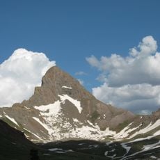
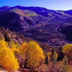
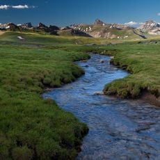
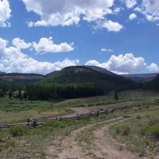
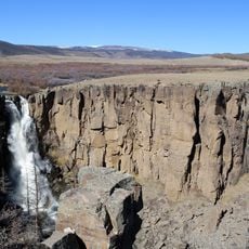
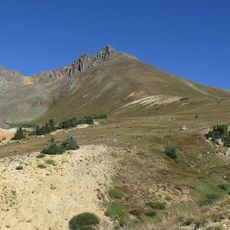
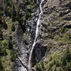
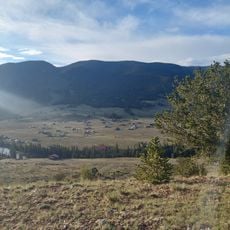
Powderhorn Wilderness is a protected area combining dense forest zones with open alpine terrain and mountain lakes spread across varying elevations. The landscape includes two major plateaus that form broad, rolling ridges characteristic of high-altitude Colorado wilderness.
Congress officially protected this land as a wilderness area in 1993, establishing joint management between two federal agencies to preserve its natural character. This designation reflected growing efforts to safeguard undeveloped mountain regions in the West.
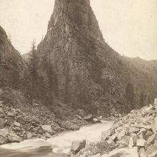
The name Cannibal Plateau connects to a notable Colorado frontier incident from the 1870s that became part of local storytelling and regional identity. Visitors walking through this area today encounter place names that carry these historical echoes.
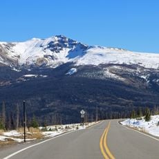
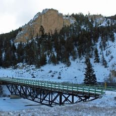
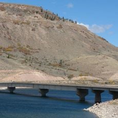
Several trailheads provide different entry points for visitors, each leading to varied routes and destinations throughout the wilderness. Proper footwear and preparation for changing mountain conditions are essential for anyone planning to spend time here.
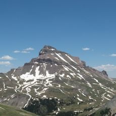
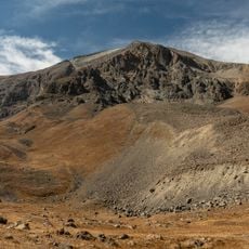
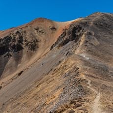
This wilderness protects one of the largest continuous stretches of high alpine tundra habitat found in its region. These open, tree-free ridges are a striking landscape feature rarely found at such a scale in the continental United States.
The community of curious travelers
AroundUs brings together thousands of curated places, local tips, and hidden gems, enriched daily by 60,000 contributors worldwide.