Gunnison County, Administrative division in Colorado, United States.
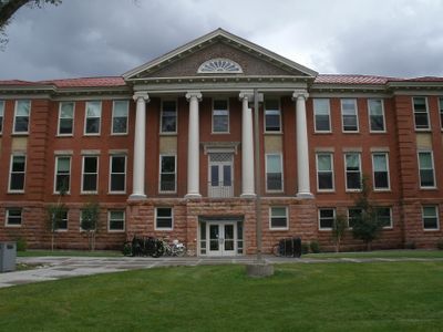
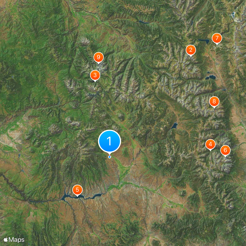
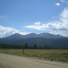
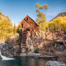
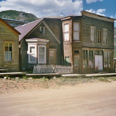
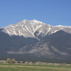
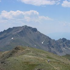
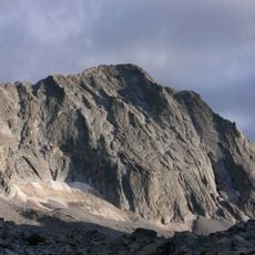
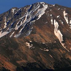
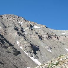
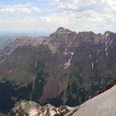
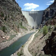
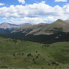
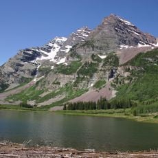
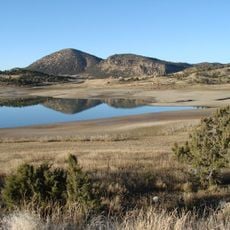
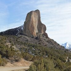
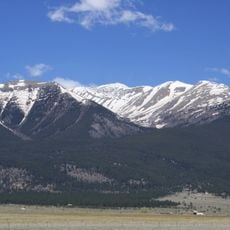
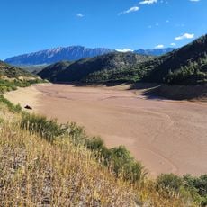
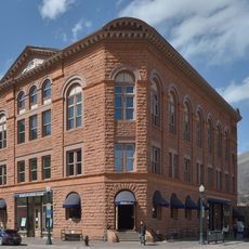
Gunnison County is a large administrative area in central Colorado featuring mountain ranges, extensive forests, and the Gunnison River running through it. The landscape shifts between high plateaus and deep valleys, with historic mining town Crested Butte and the city of Gunnison serving as major centers.
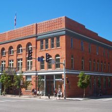
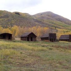
The area was named after Captain John W. Gunnison, who surveyed railroad routes through here in 1853. Real development accelerated with the silver boom in the 1880s, when mining towns like Crested Butte sprang up.
The valley served as hunting grounds and a passage for Ute tribes long before European settlement. Today, visitors can still find traces of this indigenous presence throughout the region.
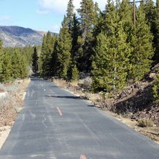
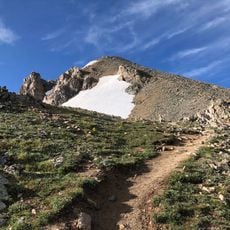
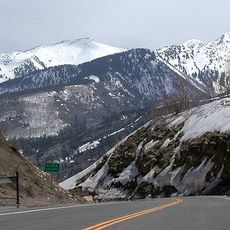
The terrain is mountainous and sits at high elevation, so winter road conditions can become challenging. Visitors should check weather before traveling and allow extra time for longer journeys through the region.
During the 1918 flu pandemic, the area implemented dramatic measures including road barricades and strict quarantine rules. This response was unusually harsh for the time and helped shield the population better than many other regions.
Location: Colorado
Inception: 1877
Capital city: Gunnison
Shares border with: Pitkin County, Hinsdale County, Delta County, Montrose County, Ouray County, Saguache County, Chaffee County
Website: https://gunnisoncounty.org
GPS coordinates: 38.67000,-107.01000
Latest update: December 7, 2025 09:20
Maroon Bells
44.7 km
Independence Pass
62.2 km
Mount Massive
73.9 km
Blue Mesa Reservoir
28.8 km
Mount Antero
66.4 km
Mineral Belt National Recreation Trail
88.8 km
Mount Harvard
66.2 km
Capitol Peak
53.8 km
La Plata Peak
61.4 km
Castle Peak
40 km
Pyramid Peak
45 km
Redstone Coke Oven Historic District
60.3 km
Aspen Art Museum
60.1 km
Morrow Point Dam
52 km
Collegiate Peaks Wilderness
55.9 km
Redstone Castle
59.1 km
Huron Peak
58.3 km
Maroon Bells–Snowmass Wilderness
46 km
Crawford State Park
51 km
McClure Pass
56.3 km
Pitkin County Courthouse
60.3 km
Needle Rock Natural Area
47.3 km
Mount Columbia
67.1 km
Leadville Historic District
89.5 km
Wheeler Opera House
60.1 km
D & RG Narrow Gauge Trestle
52.9 km
Mount Belford
64.9 km
Crystal Dam
56.4 kmVisited this place? Tap the stars to rate it and share your experience / photos with the community! Try now! You can cancel it anytime.
Discover hidden gems everywhere you go!
From secret cafés to breathtaking viewpoints, skip the crowded tourist spots and find places that match your style. Our app makes it easy with voice search, smart filtering, route optimization, and insider tips from travelers worldwide. Download now for the complete mobile experience.
A unique approach to discovering new places❞
— Le Figaro
All the places worth exploring❞
— France Info
A tailor-made excursion in just a few clicks❞
— 20 Minutes