Needle Rock Natural Area, Geological formation in Crawford, Colorado, US
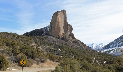
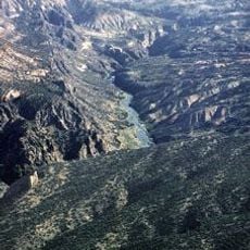
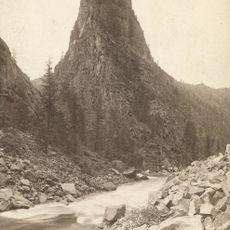
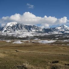
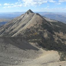
Needle Rock Natural Area is a free-standing volcanic rock formation near Crawford, Colorado, rising sharply above the Smith Fork valley of the Gunnison River system. The rock is made of monzonite porphyry and stands within the West Elk Mountains, visible from a good distance across the surrounding land.
Around 28 million years ago, during the Oligocene, magma pushed up through layers of sedimentary rock and cooled underground. The softer rock around it eroded over time, leaving this hard core exposed at the surface.
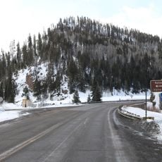
Needle Rock is a reference point for hikers and locals who move through the Smith Fork valley. The formation shapes the skyline in a way that makes it easy to spot from the surrounding roads and farms below.
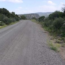
A trail leads through juniper and sagebrush toward viewpoints close to the rock, where the formation can be seen from several angles. Sturdy footwear is a good idea, as the ground can be uneven along the way.
Although the rock looks like a solid tower from the outside, it is actually the frozen interior of an old volcanic vent that never broke through to the surface. What visitors see today was once buried deep underground.
The community of curious travelers
AroundUs brings together thousands of curated places, local tips, and hidden gems, enriched daily by 60,000 contributors worldwide.