Morrow Point Reservoir, artificial reservoir in Colorado
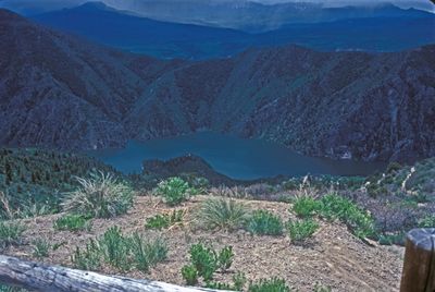
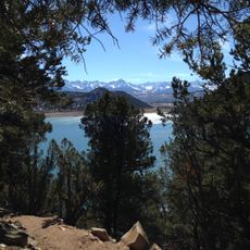
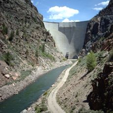
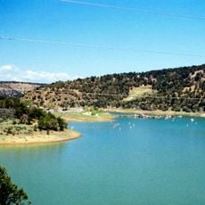
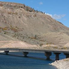
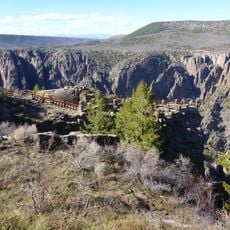
Morrow Point Reservoir is a large water body on the Gunnison River in Colorado created by a concrete dam that extends about 12 miles through a narrow canyon. The water is surrounded by steep rock walls, some rising hundreds of feet above the surface, creating a confined natural setting.
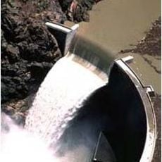
The reservoir was created in the late 1960s when the Morrow Point Dam was completed by the Bureau of Reclamation, marking the first structure of its kind built by the agency. The project was designed to control the Gunnison River and provide water storage for regional agriculture and municipal needs.
The name comes from a local official from the area's early development. The water nestles between steep rock walls that shape how people move through and experience this remote place.
Access to the water mainly comes through the Pine Creek Trail, which descends about 232 to 240 steps and can be physically demanding. Visitors should fill out a free permit at the trailhead before launching small boats, kayaks, or paddleboards, and should check current water conditions which change due to dam releases upstream.
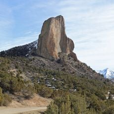
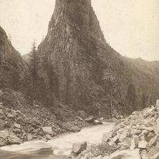
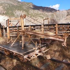
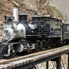
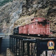
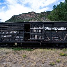
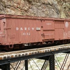
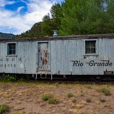
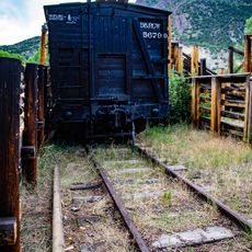
A striking geological feature is Curecanti Needle, a pointed granite rock formation rising about 700 feet from the water that has served as a regional landmark for many years. This distinctive rock outcrop once marked the passage for the Denver and Rio Grande Western Railroad, which ran close to the formation and made it recognizable to early travelers.
The community of curious travelers
AroundUs brings together thousands of curated places, local tips, and hidden gems, enriched daily by 60,000 contributors worldwide.