Morrow Point Dam, Hydroelectric power station and arch dam in Montrose County, Colorado, US.
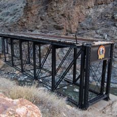
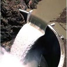
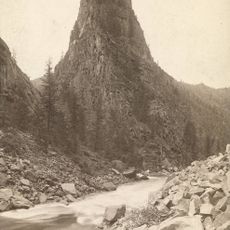
Morrow Point Dam is a 143-metre concrete double-arch dam on the Gunnison River in the upper Black Canyon. Its crest is 220.5 metres long and 3.65 metres thick, widening to 15.8 metres at the base. The dam stands between steep canyon walls of Precambrian micaceous quartzite and schist, with a spillway notch cut into the right side of the crest.
The Curecanti Project was conceived in 1955 and approved in 1959 with Blue Mesa and Morrow Point dams. Foundation drilling at the site began in 1961, and the construction contract was awarded in 1963. Concrete was first placed on September 3, 1965, and final placement took place on September 14, 1967. The diversion tunnel closed in January 1968, and the dam was completed on October 7, 1968.
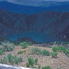
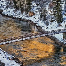
Morrow Point Reservoir and the dam sit inside Curecanti National Recreation Area, run by the National Park Service, which draws boaters and anglers to the Gunnison River canyon. The reservoir is the middle link of the Wayne N. Aspinall Unit, between Blue Mesa Dam upstream and Crystal Dam downstream, storing water released for farms and cities far to the southwest.
Visitors can view the dam from the shore or participate in guided tours to learn more about how it operates. The best access comes through the national recreation area surrounding the site, where trails and viewpoints make the location easy to reach.
The dam's grout curtain had to be extended in 1970 after leakage into the power plant reached 429 gallons per minute; asphaltic emulsion and cement grout cut it to 37 gpm. The generating hall is hollowed into the canyon wall 400 feet below the surface at the left abutment.
The community of curious travelers
AroundUs brings together thousands of curated places, local tips, and hidden gems, enriched daily by 93,180 contributors worldwide.