Enable Location

We need your location to show you interesting places around you

Discover nearby places

Find interesting locations and hidden gems around you

Precise directions

Get accurate directions and distances to places

Your location is never shared with other users. It's only used when you tap the location button.

La Plata Peak

Log in to your account

Start exploring — it's free

Trusted by 65,194 travelers worldwide

Continue with Google
Continue with Apple
or

We will send you a code to connect

By continuing, you accept our Terms and Conditions and our Privacy Policy

Check your inbox

We've sent a pincode in your inbox. Please enter the code below.

La Plata Peak
Discussion Reviews 1 Photos
10k Popularity

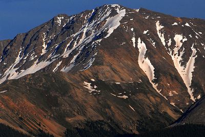
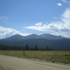
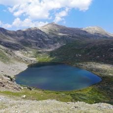
La Plata Peak, Mountain summit in Chaffee County, United States

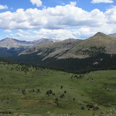
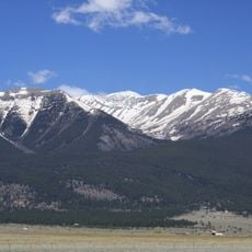
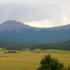
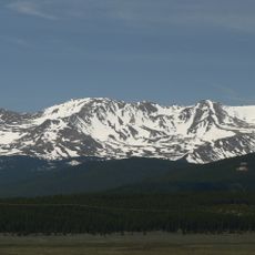
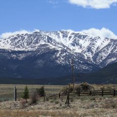
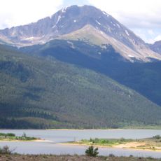
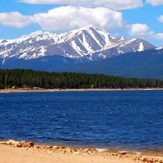
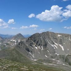
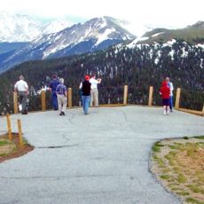
La Plata Peak is a mountain summit in the Sawatch Range in Chaffee County, Colorado, and ranks among the highest peaks in the contiguous United States. It sits within San Isabel National Forest, where granite ridges and broad open slopes define its upper terrain.

The peak was first officially climbed in 1873 by members of the Hayden Survey, a federal expedition sent to map the Rocky Mountain region. Their work helped establish the geographic knowledge of this part of Colorado that is still referenced today.

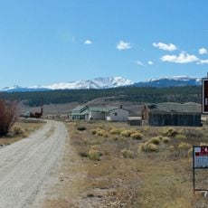
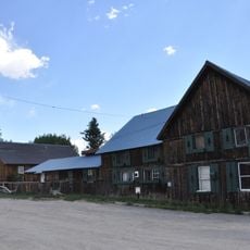
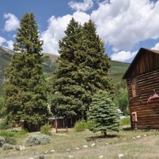
The name La Plata means silver in Spanish, pointing to the mining activity that once took place in the surrounding valleys. Old trail sections near the base pass remnants of that era, which hikers can still notice today.

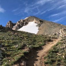
Weather can shift fast at this elevation, so checking a mountain forecast before setting out is always a good idea. All routes require solid physical preparation and proper gear, regardless of which path you choose.

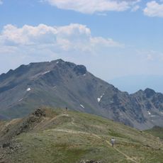
The Ellingwood Ridge route on this peak is named after Albert Ellingwood, a pioneering climber who made first ascents across Colorado in the early 20th century. His name appears on several mountains in the state, but this ridge is one of the more technically demanding routes linked to his legacy.

The community of curious travelers

AroundUs brings together thousands of curated places, local tips, and hidden gems, enriched daily by 60,000 contributors worldwide.

Start exploring
Location
Elevation above the sea
4,369 m
GPS coordinates
39.02945,-106.47296
Latest update
March 3, 2026 10:12
Around this place
Show the full map
Reviews
Share your experience

No review yet

Discussions
Start a discussion...

No discussion yet

« La Plata Peak - Mountain summit in Chaffee County, United States » is provided by Around Us (aroundus.com). Images and texts are derived from Wikimedia project under a Creative Commons license. You are allowed to copy, distribute, and modify copies of this page, under the conditions set by the license, as long as this note is clearly visible.

Discover hidden gems everywhere you go!

From secret cafés to breathtaking viewpoints, skip the crowded tourist spots and find places that match your style. Our app makes it easy with voice search, smart filtering, route optimization, and insider tips from travelers worldwide. Download now for the complete mobile experience.

Around Us App Screenshot

A unique approach to discovering new places

Le Figaro

All the places worth exploring

France Info

A tailor-made excursion in just a few clicks

20 Minutes

Around Us
Travel Guide & Maps
Download

Send to your phone

QR Code
1

Open the camera app on your mobile.

2

Point at the QR code with your camera. A notification will appear.

3

Tap the notification to open the link.