Castle Peak, Mountain summit on the border of Gunnison County and Pitkin County, United States
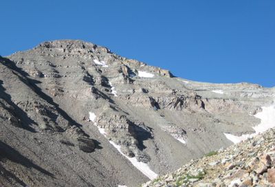
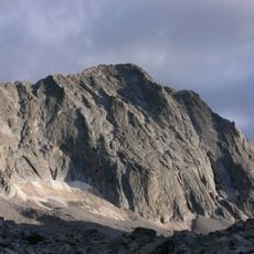
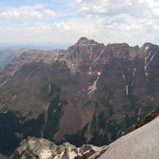
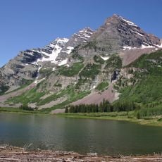
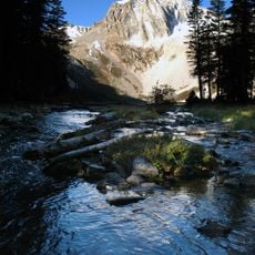
Castle Peak is a mountain summit on the border between Gunnison County and Pitkin County in Colorado. It rises to about 14,265 feet (4,348 meters) and sits within the Elk Mountains, featuring rocky ridgelines and steep faces of exposed stone.
Castle Peak was first documented during the Hayden Survey of 1873, one of the major efforts to map the American West after the Civil War. The survey produced some of the earliest detailed maps of the Colorado high country.
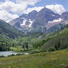
Castle Peak belongs to a group of Colorado summits that rise above 14,000 feet (4,267 meters), known locally as "Fourteeners." Climbing all of them is a long-standing tradition in the state, and many hikers come here specifically to check this peak off their list.
The most common approach follows the Mill Castle Trail, which passes through different plant zones before reaching the open rock near the top. Starting early in the morning helps avoid afternoon thunderstorms, which are common in summer at this elevation.
Castle Peak has a neighboring summit called Conundrum Peak, which sits just a short ridge-walk away and is often climbed on the same trip. Reaching both tops in one outing gives hikers a longer traverse with views down into several valleys at once.
The community of curious travelers
AroundUs brings together thousands of curated places, local tips, and hidden gems, enriched daily by 60,000 contributors worldwide.