Slumgullion Earthflow, Natural landslide formation in Hinsdale County, Colorado.
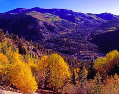
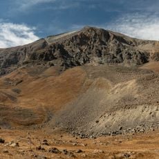
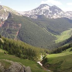
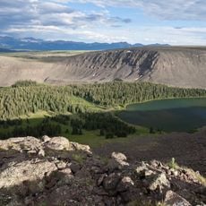
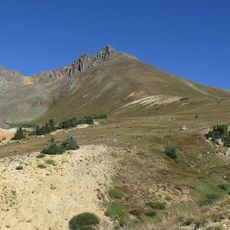
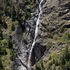
Slumgullion Earthflow is an active landslide in southern Colorado that moves slowly down a hillside in the San Juan Mountains, leaving a trail of yellow-orange earth and tilted trees. The surface of the flow is uneven, with hummocks, small ponds, and trees leaning in different directions, all signs of ongoing ground movement.
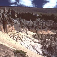
About 700 years ago, volcanic rock from Mesa Seco collapsed and sent a massive flow of debris down the valley, blocking the Lake Fork of the Gunnison River and forming Lake San Cristobal. A second, younger flow began around 300 years ago and is the part of the site that remains in motion today.
The name Slumgullion comes from a thin, greasy stew that miners ate during the gold rush era, and the yellow, muddy soil reminded early settlers of exactly that dish. Today, visitors walking near the flow can see the same yellowish earth that inspired the name, stained by sulfur and iron minerals leaching from the volcanic rock.
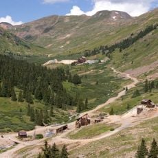
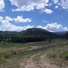
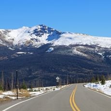
The Windy Point Overlook along Highway 149 gives a clear view of the flow and the lake it created, and it is easy to reach by car. Stopping at a few different pullouts along the highway helps you get a better sense of how far the flow extends and what the surface looks like up close.
Slumgullion is one of the few active earthflows in the United States where scientists can measure ground movement in real time, as the flow moves only a few inches (several centimeters) per year on average. This slow but steady pace has made it one of the most closely studied slopes in the country for understanding how hillsides fail over time.
The community of curious travelers
AroundUs brings together thousands of curated places, local tips, and hidden gems, enriched daily by 60,000 contributors worldwide.