Bushnell Peak, Mountain summit in Sangre de Cristo Range, Colorado, US
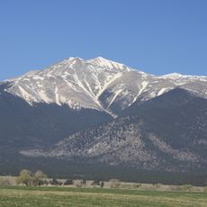
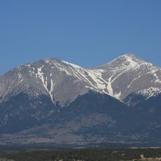
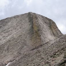
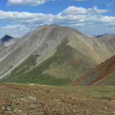
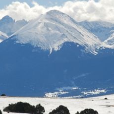
Bushnell Peak is a mountain summit in Colorado's Sangre de Cristo Range, rising to approximately 13,110 feet at the boundary between Rio Grande National Forest and San Isabel National Forest. The peak can be reached via two main routes: one from Hayden Creek Campground in Wet Mountain Valley and another from Brook Creek in San Luis Valley.
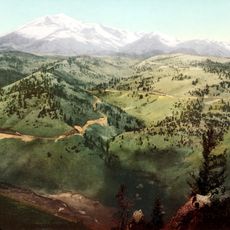
The mountain has served as a geographical landmark in the Colorado mountain system for many decades. Its prominence as the highest point in Fremont County made it an important reference for early maps and explorers.
Local hiking communities frequently organize expeditions to Bushnell Peak, combining the ascent with visits to the neighboring Bushnell Lakes and waterfalls.
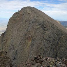
The ascent is demanding and requires good physical fitness and mountain hiking experience. Visitors should be prepared for changing weather conditions and bring plenty of water and proper gear.
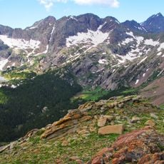
The western slopes of the peak drop steeply and can be prone to avalanches under certain snow conditions. The eastern ridges in contrast feature high-altitude lakes nestled among rocky terrain, creating a distinct character to this side.
The community of curious travelers
AroundUs brings together thousands of curated places, local tips, and hidden gems, enriched daily by 60,000 contributors worldwide.