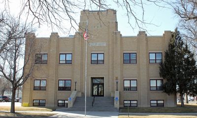
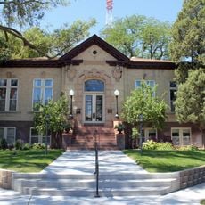
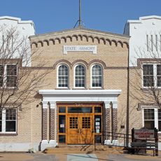
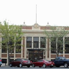
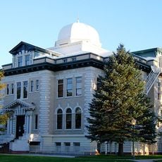
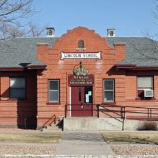
Morgan County, County administration center in Fort Morgan, Colorado.
Morgan County is an administrative region in northeastern Colorado with farmland, ranches, and the South Platte River running through it. The county government building in Fort Morgan serves as the administrative center for residents.
Established in 1889 from part of Weld County, the region was named after Colonel Christopher A. Morgan. This creation marked an important milestone in the settlement and organization of northern Colorado.
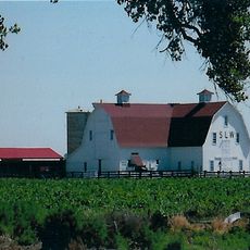
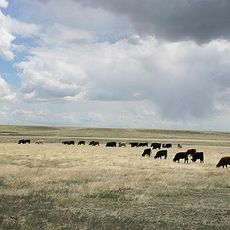
Agriculture shapes daily life here, with cattle ranches, sheep operations, and dairy farms visible across the landscape. These farms define the community's character and remain central to how people live and work.
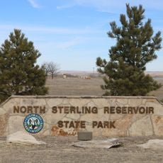
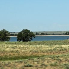
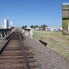
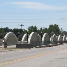
Interstate 76 and U.S. Highways 6 and 34 connect the region to Denver and surrounding areas. Jackson Lake State Park provides outdoor recreation options and is accessible from multiple points within the county.
The region has an unusual geometric shape that sets it apart from other counties in the state. This distinctive feature often surprises those learning about the area for the first time.
Location: Colorado
Inception: 1889
Capital city: Fort Morgan
Shares border with: Logan County, Washington County, Adams County, Weld County
Website: http://co.morgan.co.us
GPS coordinates: 40.26000,-103.81000
Latest update: December 7, 2025 20:23
Sterling Correctional Facility
67.4 km
Dearfield
38.1 km
Pawnee Buttes
64.1 km
North Sterling State Park
74.8 km
Hoyt Radio Tower
40 km
Prewitt Reservoir
42.1 km
SLW Ranch
60.4 km
Comanche Crossing of the Kansas Pacific Railroad
72 km
Central Plains
60.5 km
St. Anthony's Roman Catholic Church
64.8 km
Sterling Public Library
64.9 km
All Saints Church of Eben Ezer
14.1 km
Fort Morgan State Armory
1.2 km
West Plum Bush Creek Bridge
60.4 km
Plum Bush Creek Bridge
62.1 km
First United Presbyterian Church
65 km
German Evangelical Immanuel Congregational Church
16.1 km
Conrad Luft Sr. House
63.5 km
Greeley Tribune Building
76.8 km
Meeker Memorial Museum
76.8 km
Logan County Courthouse
65.1 km
Knearl School
15.9 km
Old Trail School
22.6 km
Downtown Sterling Historic District
65 km
Lincoln School
846 m
Gray Hall
76.7 km
Central Plains Experimental Range
60.5 km
Rainbow Arch Bridge
1.3 kmVisited this place? Tap the stars to rate it and share your experience / photos with the community! Try now! You can cancel it anytime.
Discover hidden gems everywhere you go!
From secret cafés to breathtaking viewpoints, skip the crowded tourist spots and find places that match your style. Our app makes it easy with voice search, smart filtering, route optimization, and insider tips from travelers worldwide. Download now for the complete mobile experience.
A unique approach to discovering new places❞
— Le Figaro
All the places worth exploring❞
— France Info
A tailor-made excursion in just a few clicks❞
— 20 Minutes